
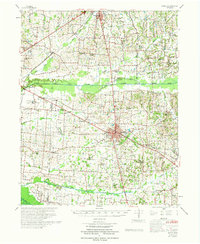
1952 Map of Dresden
USGS Topo · Published 1953About this map
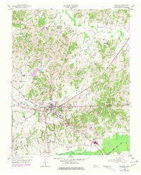
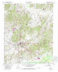
Dresden serves as the focal point of this Weakley County landscape in the early 1950s, situated at the junction of the Nashville Chattanooga and St Louis Railroad and several local transit routes like Chicken Road. The area south of the town center transitions into the fertile bottomlands of the Middle Fork Obion River, while the northern terrain is defined by a dense network of drainage branches like Strawberry Branch and Cypress Creek.
Find a feature on this map
52 named features on this map. Tap any name to fly to it.
Don’t see what you’re looking for? This feature index may not catch every label — zoom into the map to look around manually.
Map Details
Editions of this 1952 Dresden Map
3 editions found
Other maps of this area

1950 · Martin
USGS Topo · 1:24,000

1954 · Greenfield
USGS Topo · 1:24,000

1956 · Mc Connell
USGS Topo · 1:24,000

1956 · Latham
USGS Topo · 1:24,000
1956 · Palmersville
USGS Topo · 1:24,000

1956 · Dyersburg
USGS Topo · 1:250,000

1957 · Como
USGS Topo · 1:24,000

1967 · Pillowville
USGS Topo · 1:24,000
1967 · Mc Kenzie
USGS Topo · 1:24,000
1972 · Martin
USGS Topo · 1:62,500