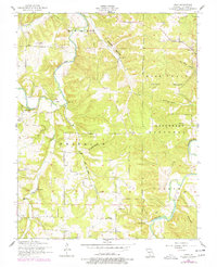
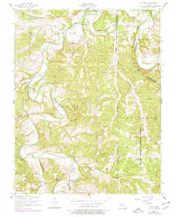
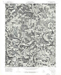
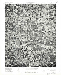
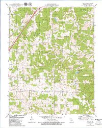
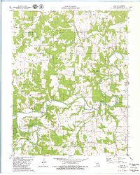
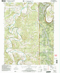
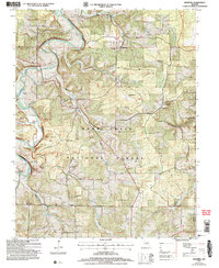
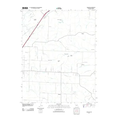
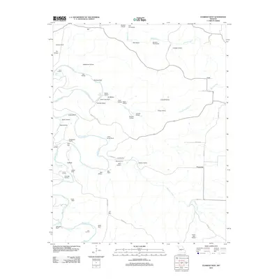
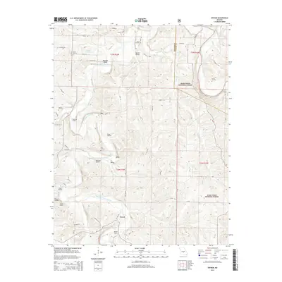
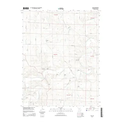
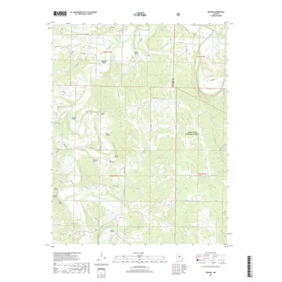
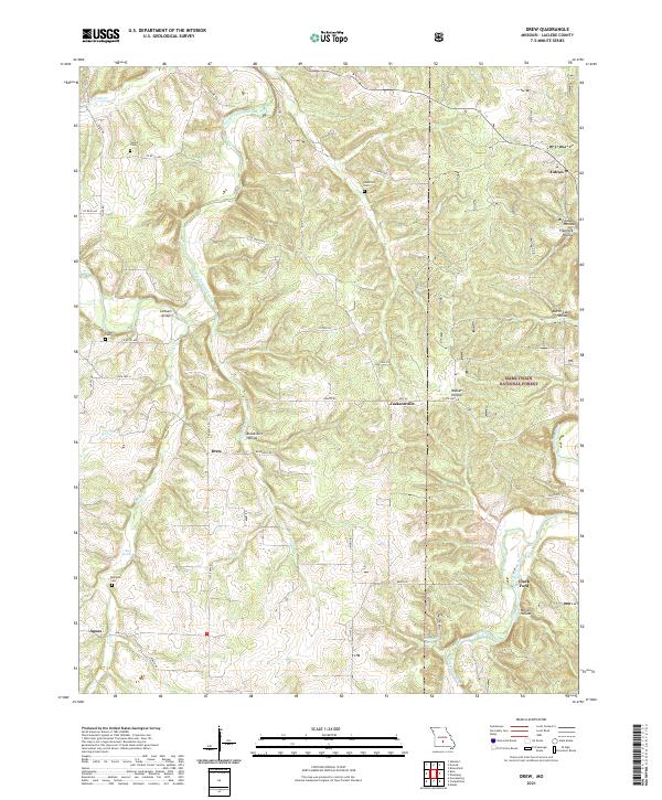
1954 Map of Drew
USGS Topo · Published 1977About this map
Franklin and Gasconade townships meet in this Missouri landscape where the Gasconade River and Osage Fork carve through the terrain. The map documents a rural way of life centered around small crossroads and family landmarks. The tiny settlement of Drew sits near Franklin School, while researchers will find several family burying grounds, including Heard Cemetery and Bohannon Cemetery, tucked into the hills.
Find a feature on this map
35 named features on this map. Tap any name to fly to it.
Don’t see what you’re looking for? This feature index may not catch every label — zoom into the map to look around manually.
Map Details
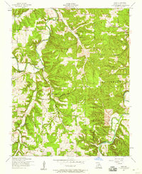
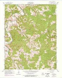
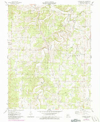
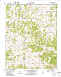
Editions of this 1954 Drew Map
2 editions found
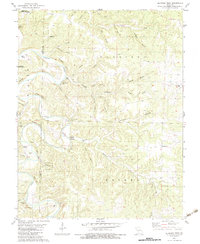
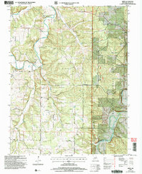
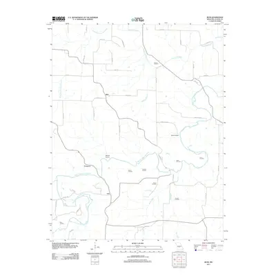
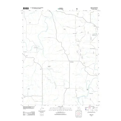
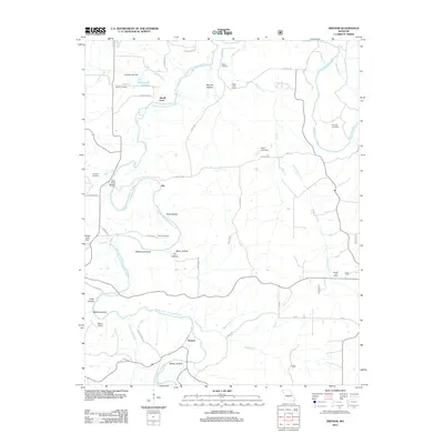
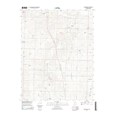
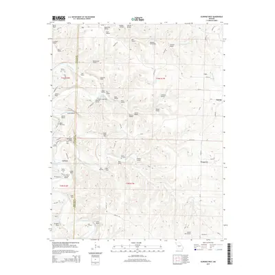
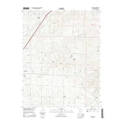
Historical Maps of Clark Ford Through Time
49 maps found
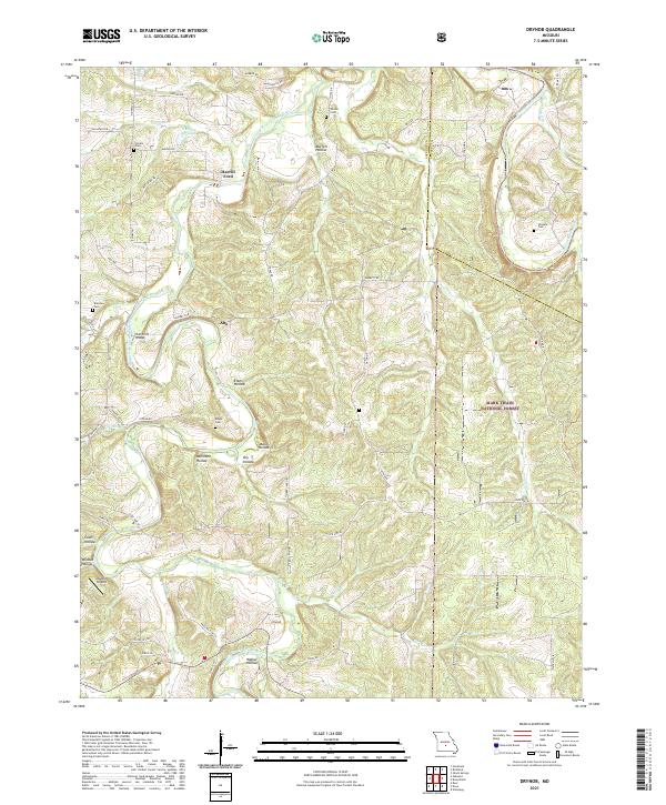
1943 Drynob
Laclede County, MO
1954 Drew
Laclede County, MO
1954 Drynob
Laclede County, MO
1954 Drynob
Laclede County, MO
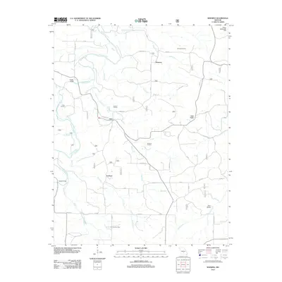
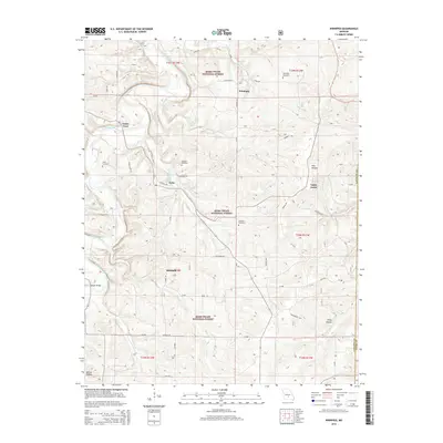
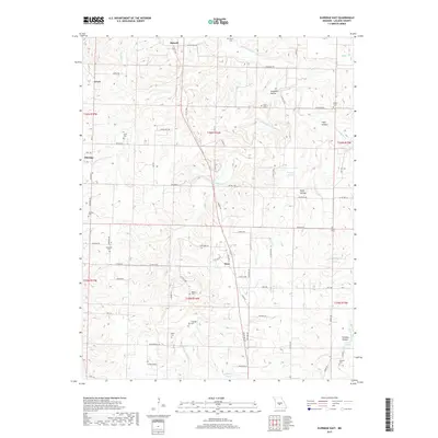
1954 Winnipeg
Laclede County, MO
1975 Lebanon NE
Laclede County, MO
1975 Lebanon NW
Laclede County, MO
1975 Lebanon SE
Laclede County, MO
1975 Lebanon SW
Laclede County, MO
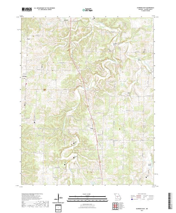
1976 Eldridge East
Laclede County, MO
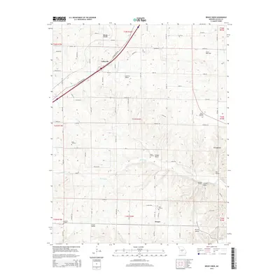
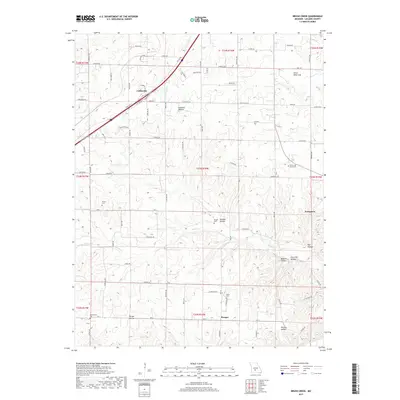
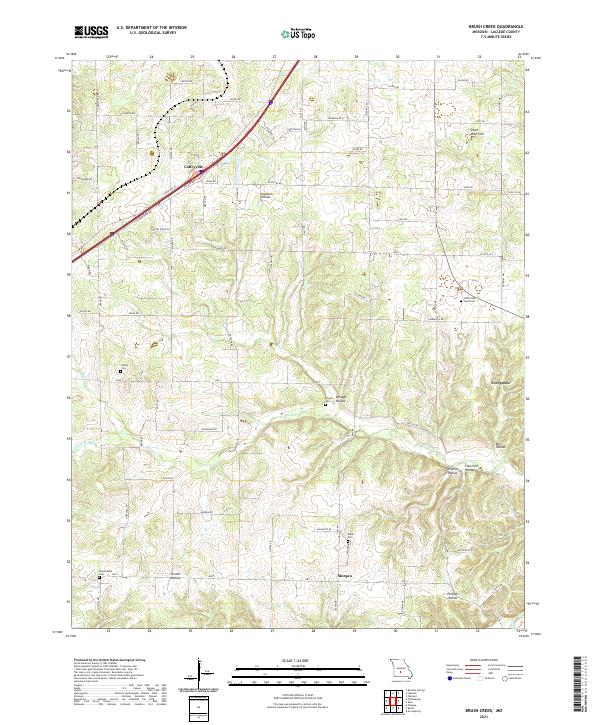
1979 Brush Creek
Laclede County, MO
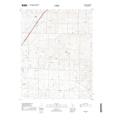
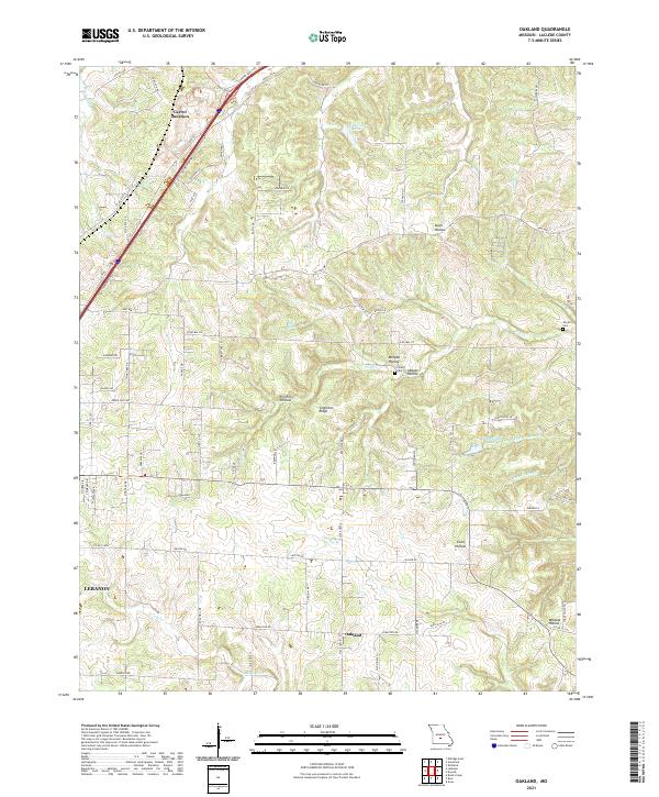
1979 Oakland
Laclede County, MO
1979 Russ
Laclede County, MO
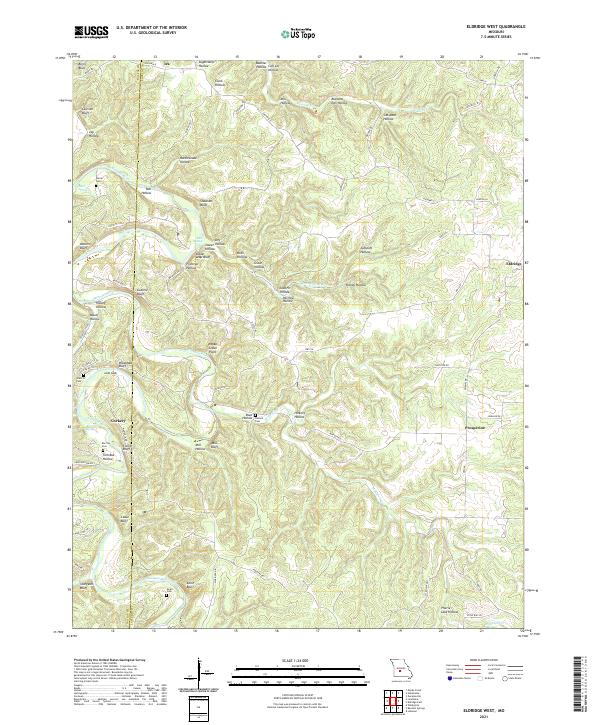
1982 Eldridge West
Laclede County, MO
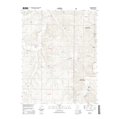
2004 Drew
Laclede County, MO
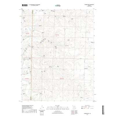
2004 Drynob
Laclede County, MO
2004 Winnipeg
Laclede County, MO
2011 Brush Creek
Laclede County, MO
2011 Eldridge East
Laclede County, MO
2011 Oakland
Laclede County, MO
2011 Russ
Laclede County, MO
2012 Drew
Laclede County, MO
2012 Drynob
Laclede County, MO
2012 Eldridge West
Laclede County, MO
2012 Winnipeg
Laclede County, MO
2015 Brush Creek
Laclede County, MO
2015 Drew
Laclede County, MO
2015 Drynob
Laclede County, MO
2015 Eldridge East
Laclede County, MO
2015 Eldridge West
Laclede County, MO
2015 Oakland
Laclede County, MO
2015 Russ
Laclede County, MO
2015 Winnipeg
Laclede County, MO
2017 Brush Creek
Laclede County, MO
2017 Drew
Laclede County, MO
2017 Drynob
Laclede County, MO
2017 Eldridge East
Laclede County, MO
2017 Eldridge West
Laclede County, MO
2017 Oakland
Laclede County, MO
2017 Russ
Laclede County, MO
2017 Winnipeg
Laclede County, MO
2021 Brush Creek
Laclede County, MO
2021 Drew
Laclede County, MO
2021 Drynob
Laclede County, MO
2021 Eldridge East
Laclede County, MO
2021 Eldridge West
Laclede County, MO
2021 Oakland
Laclede County, MO
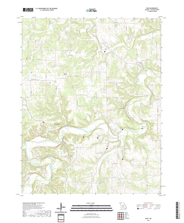
2021 Russ
Laclede County, MO
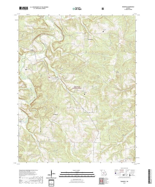
2021 Winnipeg
Laclede County, MO