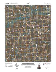
2010 Map of Drewryville
USGS Topo · Published 2010About this map
Drewryville and the nearby settlement of Arringdale anchor this coastal plain landscape, characterized by an intricate network of wetlands and creeks. The hydrology is dominated by named swamps such as Applewhite Swamp, Smith Swamp, and Bellyache Swamp, which drain into larger arteries like Three Creek and the Meherrin River along the southern border. This terrain shaped the local development, with early roads like Rivers Mill Rd and Fortsville Rd navigating between the low-lying reaches of Poplar Swamp and Flat Swamp. Local history and infrastructure are represented by features like the Pleasant Plain Memorial Cemetery and the Southampton Correctional Center Airport in the northeast. The presence of Claud Dam and Rivers Pond further illustrates the management of these water resources in a region where the damp environment and rural road networks define the pattern of Southside Virginia life.
Find a feature on this map
45 named features on this map. Tap any name to fly to it.
Don’t see what you’re looking for? This feature index may not catch every label — zoom into the map to look around manually.
Map Details
Editions of this 2010 Drewryville Map
This is the sole edition of this map. No revisions or reprints were ever made.
Other maps of this area

1919 · Jarratt
USGS Topo · 1:62,500

1919 · Homeville
USGS Topo · 1:48,000

1919 · Boykins
USGS Topo · 1:48,000

1919 · Arringdale
USGS Topo · 1:48,000

1920 · Homeville
USGS Topo · 1:62,500

1920 · Boykins
USGS Topo · 1:62,500

1920 · Arringdale
USGS Topo · 1:62,500

1942 · Arringdale
USGS Topo · 1:62,500

1943 · Sebrell
USGS Topo · 1:31,680

1951 · Jarratt
USGS Topo · 1:62,500