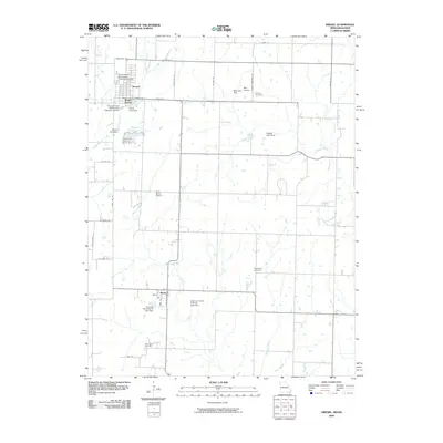
2009 Map of Drexel
USGS Topo · Published 2009About this map
Drexel serves as a primary hub on this Missouri-Kansas borderland, anchoring a landscape defined by small-town grids and extensive water management infrastructure. The town of Merwin sits further south, while South Drexel indicates the community's expansion toward the Drexel City Reservoir South. The local economy and land use are reflected in the numerous private airstrips, including May Airport and Arvin Ranch Airport, and a high density of man-made reservoirs such as Hodges Lake Dam and Boone Lake Dam.
Find a feature on this map
44 named features on this map. Tap any name to fly to it.
Don’t see what you’re looking for? This feature index may not catch every label — zoom into the map to look around manually.
Map Details
Editions of this 2009 Drexel Map
This is the sole edition of this map. No revisions or reprints were ever made.
Other maps of this area

1887 · Harrisonville
USGS Topo · 1:125,000

1887 · Olathe
USGS Topo · 1:125,000

1887 · Butler
USGS Topo · 1:125,000

1887 · Mound City
USGS Topo · 1:125,000

1892 · Harrisonville
USGS Topo · 1:125,000

1893 · Mound City
USGS Topo · 1:125,000

1893 · Olathe
USGS Topo · 1:125,000

1894 · Harrisonville
USGS Topo · 1:125,000

1894 · Butler
USGS Topo · 1:125,000

1947 · Lawrence
USGS Topo · 1:250,000