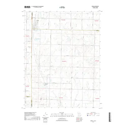
2017 Map of Drexel
USGS Topo · Published 2017About this map
Drexel sits at the northern edge of this landscape, straddling the state line where Missouri meets Kansas. This 2017 survey details the rural borderland between Cass and Bates counties, where the town layout includes historic thoroughfares like E Cass St and Ethel St. The terrain is defined by the drainage systems of Miami Cr and Mormon Fork, which weave between agricultural plots and small water bodies such as Drexel Lake and May Lake.
Find a feature on this map
74 named features on this map. Tap any name to fly to it.
Don’t see what you’re looking for? This feature index may not catch every label — zoom into the map to look around manually.
Map Details
Editions of this 2017 Drexel Map
This is the sole edition of this map. No revisions or reprints were ever made.
Other maps of this area

1887 · Harrisonville
USGS Topo · 1:125,000

1887 · Olathe
USGS Topo · 1:125,000

1887 · Butler
USGS Topo · 1:125,000

1887 · Mound City
USGS Topo · 1:125,000

1892 · Harrisonville
USGS Topo · 1:125,000

1893 · Mound City
USGS Topo · 1:125,000

1893 · Olathe
USGS Topo · 1:125,000

1894 · Harrisonville
USGS Topo · 1:125,000

1894 · Butler
USGS Topo · 1:125,000

1947 · Lawrence
USGS Topo · 1:250,000