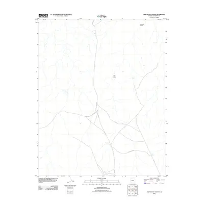
2011 Map of Driftwood Canyon
USGS Topo · Published 2011About this map
Miners Spring and a series of livestock watering points define this arid Coconino County landscape. The 2011 survey reveals a remote ranching or transit corridor dominated by the winding path of Driftwood Canyon and the surrounding drainage of Twin Tank Draw. Development is primarily limited to a network of arterial paths, including the Hualapai Hilltop Hwy and Supai Rd, which intersect with various unimproved routes like Camp 5 Rd. Essential water sources for the region's operations are sparse but clearly marked, such as Kaufman Tanks, Twin Tanks, and the solitary New Tank. The presence of Miners Spring suggests a localized history of prospecting or early settlement near the crossroads of these high-desert thoroughfares.
Find a feature on this map
10 named features on this map. Tap any name to fly to it.
Don’t see what you’re looking for? This feature index may not catch every label — zoom into the map to look around manually.
Map Details
Editions of this 2011 Driftwood Canyon Map
This is the sole edition of this map. No revisions or reprints were ever made.
Other maps of this area

1886 · Chino
USGS Topo · 1:250,000

1886 · Kaibab
USGS Topo · 1:250,000

1891 · Chino
USGS Topo · 1:250,000

1948 · Williams
USGS Topo · 1:250,000

1953 · Grand Canyon
USGS Topo · 1:250,000

1954 · Williams
USGS Topo · 1:250,000

1956 · Williams
USGS Topo · 1:250,000

1957 · Grand Canyon
USGS Topo · 1:250,000

1958 · Grand Canyon
USGS Topo · 1:250,000

1960 · Williams
USGS Topo · 1:250,000