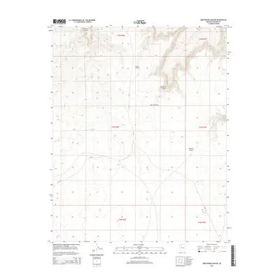
2014 Map of Driftwood Canyon
USGS Topo · Published 2014About this map
Hualapai Canyon and the high plateaus of Coconino County define this arid landscape, where survival is historically tied to the scattered water sources and canyons of the Colorado Plateau. This 2014 survey illustrates a region largely shaped by the management of the Bureau of Indian Affairs, as seen through the route of Bia-18 crossing the southwest corner. The names on the land reflect a pastoral and mining heritage, with Miners Spring and a series of livestock watering sites like Twin Tanks, Kaufman Tanks, and New Tank punctuating the drainages. These features, along with Tunnel Canyon and Driftwood Canyon, show a complex network of dry draws and deep cuts that have dictated movement and land use across the township lines of the Navajo and Hualapai regions.
Find a feature on this map
17 named features on this map. Tap any name to fly to it.
Don’t see what you’re looking for? This feature index may not catch every label — zoom into the map to look around manually.
Map Details
Editions of this 2014 Driftwood Canyon Map
This is the sole edition of this map. No revisions or reprints were ever made.
Other maps of this area

1886 · Chino
USGS Topo · 1:250,000

1886 · Kaibab
USGS Topo · 1:250,000

1891 · Chino
USGS Topo · 1:250,000

1948 · Williams
USGS Topo · 1:250,000

1953 · Grand Canyon
USGS Topo · 1:250,000

1954 · Williams
USGS Topo · 1:250,000

1956 · Williams
USGS Topo · 1:250,000

1957 · Grand Canyon
USGS Topo · 1:250,000

1958 · Grand Canyon
USGS Topo · 1:250,000

1960 · Williams
USGS Topo · 1:250,000