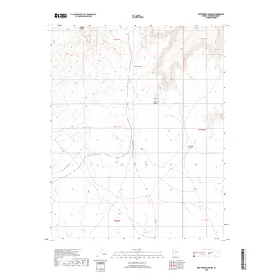
2018 Map of Driftwood Canyon
USGS Topo · Published 2018About this map
Hualapai Hilltop Hwy and Supai Rd serve as the primary transport arteries through this Coconino County landscape, cutting across a high plateau characterized by intricate drainage systems. The terrain is deeply incised by Hualapai Canyon in the northwest and Driftwood Canyon near the center, revealing the complex geological erosion patterns of the region. Water management is a central theme of this environment, as evidenced by strategically placed features such as Kaufman Tanks, Twin Tanks, and New Tank along the roadways. These catchment areas, alongside Miners Spring, suggest the critical importance of reliable water sources for transit and land use in this arid territory. The map also traces the paths of Tunnel Canyon and Disquiba Canyon, illustrating the natural topographic barriers that define movement through the area.
Find a feature on this map
18 named features on this map. Tap any name to fly to it.
Don’t see what you’re looking for? This feature index may not catch every label — zoom into the map to look around manually.
Map Details
Editions of this 2018 Driftwood Canyon Map
This is the sole edition of this map. No revisions or reprints were ever made.
Other maps of this area

1886 · Chino
USGS Topo · 1:250,000

1886 · Kaibab
USGS Topo · 1:250,000

1891 · Chino
USGS Topo · 1:250,000

1948 · Williams
USGS Topo · 1:250,000

1953 · Grand Canyon
USGS Topo · 1:250,000

1954 · Williams
USGS Topo · 1:250,000

1956 · Williams
USGS Topo · 1:250,000

1957 · Grand Canyon
USGS Topo · 1:250,000

1958 · Grand Canyon
USGS Topo · 1:250,000

1960 · Williams
USGS Topo · 1:250,000