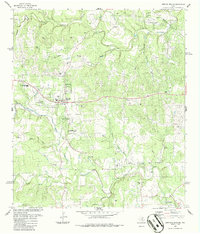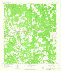
1963 Map of Dripping Springs
USGS Topo · Published 1965About this map
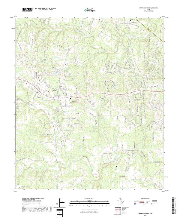
Dripping Springs serves as the focal point of this Central Texas landscape in the early 1960s, situated near the headwaters of several critical Hill Country drainages. The map illustrates a rural economy transitioning between traditional ranching and modern infrastructure, evidenced by the numerous Gravel Pits scattered across the limestone terrain and the presence of new pipelines crossing the Travis Co Hays Co line. Significant water features like Barton Creek and Onion Creek define the topography, with deep-cut valleys such as Schoolhouse Hollow and Turkey Hollow carving through the plateau. Local heritage is preserved at Camp Ben McCulloch near the southern edge, while genealogy researchers can locate family burial sites at Fitzhugh Cem and Phillips Cem. The settlement pattern remains largely dispersed, concentrated around small outposts like Fitzhugh and the prominent rising of Wallace Mtn.
Find a feature on this map
26 named features on this map. Tap any name to fly to it.
Don’t see what you’re looking for? This feature index may not catch every label — zoom into the map to look around manually.
Map Details
Editions of this 1963 Dripping Springs Map
2 editions found
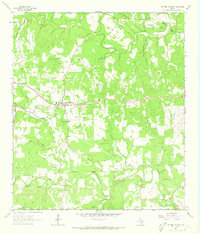
Historical Maps of Dripping Springs Through Time
3 maps found