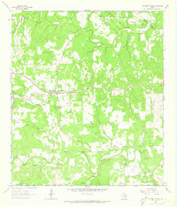
1963 Map of Dripping Springs
USGS Topo · Published 1973About this map
The rolling limestone country of northern Hays County and southwestern Travis County unfolds across this early 1960s survey. The town of Dripping Springs serves as the central hub, situated along Route 290 and surrounded by family-named landmarks like Wallace Mtn and Kirby Spring. The landscape is defined by the winding drainages of Barton Creek and Onion Creek, which carve through the Edwards Plateau terrain to create distinct geographic markers such as Schoolhouse Hollow and Hog Hollow.
Find a feature on this map
30 named features on this map. Tap any name to fly to it.
Don’t see what you’re looking for? This feature index may not catch every label — zoom into the map to look around manually.
Map Details
Editions of this 1963 Dripping Springs Map
2 editions found
Other maps of this area

1887 · Blanco
USGS Topo · 1:125,000

1894 · Blanco
USGS Topo · 1:125,000

1896 · Austin
USGS Topo · 1:125,000

1897 · Austin
USGS Topo · 1:125,000

1910 · Austin
USGS Topo · 1:125,000

1932 · Mt. Bonnell
USGS Topo · 1:62,500

1954 · Llano
USGS Topo · 1:250,000

1954 · Austin
USGS Topo · 1:250,000

1955 · Llano
USGS Topo · 1:250,000

1956 · Llano
USGS Topo · 1:250,000