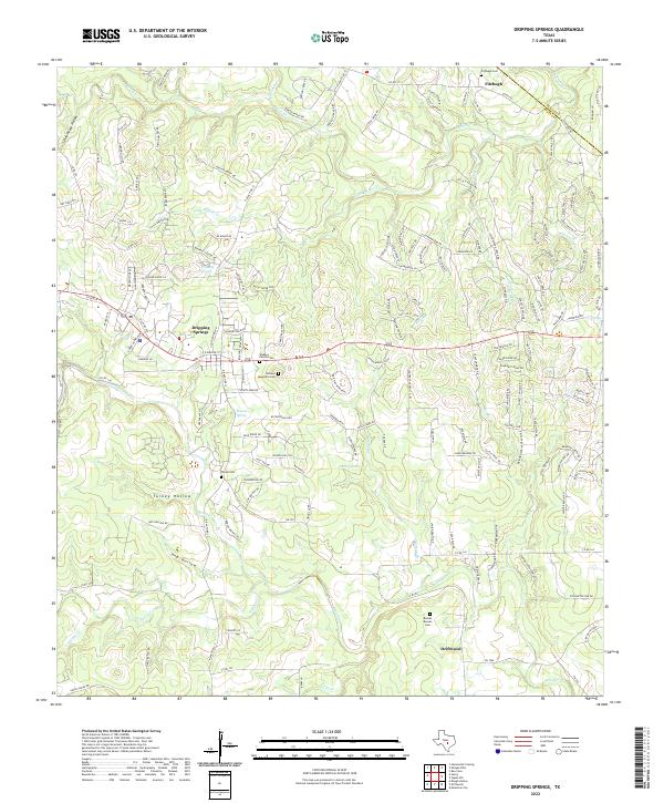
2022 Map of Dripping Springs
USGS Topo · Published 2022About this map
Dripping Springs and its surrounding Hill Country landscape are defined by a complex drainage system where the Edwards Plateau meets the Balcones Escarpment. The area is anchored by the perennial flow of Onion Cr and Barton Cr, with dozens of smaller tributaries like Fitzhugh Cr and Little Barton Cr carving deep into the limestone. This 2022 survey documents the modern suburban expansion around the historic core of Dripping Springs, while also preserving the locations of legacy family sites such as the Wallace Family Cem and Wallace Mountain Cem. To the north, the settlement of Fitzhugh sits near the Fitzhugh Cem, while Driftwood marks the southern extent of the sheet. The terrain is notably etched by distinctive landforms like Bearkat Canyon and the broad depressions of Turkey Hollow and Hog Hollow.
Find a feature on this map
168 named features on this map. Tap any name to fly to it.
Don’t see what you’re looking for? This feature index may not catch every label — zoom into the map to look around manually.
Map Details
Editions of this 2022 Dripping Springs Map
This is the sole edition of this map. No revisions or reprints were ever made.
Other maps of this area

1887 · Blanco
USGS Topo · 1:125,000

1894 · Blanco
USGS Topo · 1:125,000

1896 · Austin
USGS Topo · 1:125,000

1897 · Austin
USGS Topo · 1:125,000

1910 · Austin
USGS Topo · 1:125,000

1932 · Mt. Bonnell
USGS Topo · 1:62,500

1954 · Llano
USGS Topo · 1:250,000

1954 · Austin
USGS Topo · 1:250,000

1955 · Llano
USGS Topo · 1:250,000

1956 · Llano
USGS Topo · 1:250,000