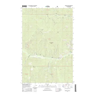
2017 Map of Driveway Peak
USGS Topo · Published 2017About this map
The Coeur d'Alene Mountains within the Lolo National Forest dominate this high-country landscape, where narrow canyons and steep ridges define the terrain. The map area is centered around its namesake Driveway Peak, providing a detailed view of the complex drainages that feed into Prospect Cr and Clear Cr. This modern survey reveals a dense network of forest development roads, such as Natl Forest Develop Road 876 Rd and Natl Forest Develop Road 7636 Rd, which provide access to numerous named gulches. These local landmarks, including Buster Brown Gulch, Lucky Boy Gulch, and Therriault Gulch, often reflect the prospecting and timber history of Sanders County. The transition from the W Fork Crow Cr to the high elevations of the Coeur d'Alenes illustrates the remote, working character of these public lands.
Find a feature on this map
41 named features on this map. Tap any name to fly to it.
Don’t see what you’re looking for? This feature index may not catch every label — zoom into the map to look around manually.
Map Details
Editions of this 2017 Driveway Peak Map
This is the sole edition of this map. No revisions or reprints were ever made.
Other maps of this area

1914 · Avery
USGS Topo · 1:125,000

1917 · Avery
USGS Topo · 1:125,000

1918 · St Regis
USGS Topo · 1:125,000

1919 · St. Regis
USGS Topo · 1:125,000

1932 · Trout Creek
USGS Topo · 1:125,000

1935 · Trout Creek
USGS Topo · 1:125,000

1936 · Trout Creek
USGS Topo · 1:125,000

1937 · Thompson Falls
USGS Topo · 1:125,000

1937 · Thompson Falls
USGS Topo · 1:62,500

1956 · Cooper Gulch
USGS Topo · 1:62,500