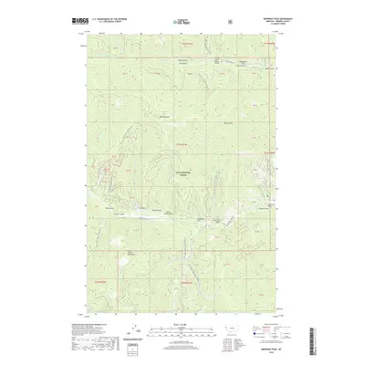
2020 Map of Driveway Peak
USGS Topo · Published 2020About this map
Lolo National Forest encompasses the high country of the Coeur d'Alene Mountains in this modern survey of Sanders County. The landscape is defined by a dense network of gulches and drainages, most notably Driveway Peak which sits at the center of a complex topography. Waterways such as Prospect Cr and Clear Cr serve as the primary geographical markers, carving out the valleys where much of the area's named history is found.
Find a feature on this map
43 named features on this map. Tap any name to fly to it.
Don’t see what you’re looking for? This feature index may not catch every label — zoom into the map to look around manually.
Map Details
Editions of this 2020 Driveway Peak Map
This is the sole edition of this map. No revisions or reprints were ever made.
Other maps of this area

1914 · Avery
USGS Topo · 1:125,000

1917 · Avery
USGS Topo · 1:125,000

1918 · St Regis
USGS Topo · 1:125,000

1919 · St. Regis
USGS Topo · 1:125,000

1932 · Trout Creek
USGS Topo · 1:125,000

1935 · Trout Creek
USGS Topo · 1:125,000

1936 · Trout Creek
USGS Topo · 1:125,000

1937 · Thompson Falls
USGS Topo · 1:125,000

1937 · Thompson Falls
USGS Topo · 1:62,500

1956 · Cooper Gulch
USGS Topo · 1:62,500