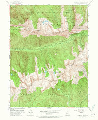
1955 Map of Dromedary Peak
USGS Topo · Published 1971About this map
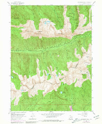
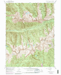
Alta and the surrounding peaks of the Wasatch Range define this 1955 survey, which captures the area's transition from a historic mining district into a recreational landscape. The map is a dense record of subterranean industry, documenting dozens of workings such as the Silver Mountain Mine, Flagstaff Mine, and South Hecla Mine. These operations, along with numerous drainage structures like the Wasatch Drain Tunnel, follow the mineral-rich veins between the Big Cottonwood Creek and Little Cottonwood Creek drainages.
Find a feature on this map
91 named features on this map. Tap any name to fly to it.
Don’t see what you’re looking for? This feature index may not catch every label — zoom into the map to look around manually.
Map Details
Editions of this 1955 Dromedary Peak Map
6 editions found
Other maps of this area

1885 · Salt Lake
USGS Topo · 1:250,000

1925 · Ft. Douglas
USGS Topo · 1:125,000

1928 · Ft. Douglas
USGS Topo · 1:125,000

1948 · Timpanogos Cave
USGS Topo · 1:24,000

1948 · Orem
USGS Topo · 1:62,500

1948 · Aspen Grove
USGS Topo · 1:24,000

1950 · Aspen Grove
USGS Topo · 1:24,000

1950 · Timpanogos Cave
USGS Topo · 1:24,000

1951 · Lehi
USGS Topo · 1:24,000

1952 · Sugar House
USGS Topo · 1:24,000