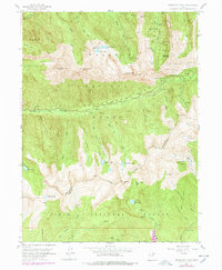
1955 Map of Dromedary Peak
USGS Topo · Published 1978About this map
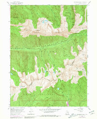
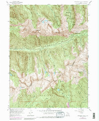
Alta sits high among the jagged peaks of the Wasatch Range, serving as a focal point for this mid-century look at the intensive mining activity that shaped these canyons. The landscape is perforated with the remnants of industrial labor, featuring an extensive network of shafts and drainage systems such as the Wasatch Drain Tunnel and the Sells Tunnel. In the north, Big Cottonwood Canyon provides access to concentrated workings including the Cardiff Mine, Reed and Benson Mine, and Flagstaff Mine. High alpine basins are marked by names like Mineral Flat and Mineral Basin, where high-altitude geology meets the engineering efforts of the 1950s. Natural features like Lake Blanche and the towering Dromedary Peak define the physical limits of these drainages, while the Salt Lake and Utah county line traverses the southern ridges above American Fork Canyon.
Find a feature on this map
77 named features on this map. Tap any name to fly to it.
Don’t see what you’re looking for? This feature index may not catch every label — zoom into the map to look around manually.
Map Details
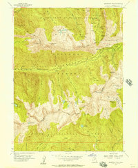
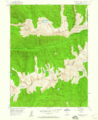
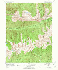
Editions of this 1955 Dromedary Peak Map
6 editions found
Other maps of this area

1885 · Salt Lake
USGS Topo · 1:250,000

1925 · Ft. Douglas
USGS Topo · 1:125,000

1928 · Ft. Douglas
USGS Topo · 1:125,000

1948 · Timpanogos Cave
USGS Topo · 1:24,000

1948 · Orem
USGS Topo · 1:62,500

1948 · Aspen Grove
USGS Topo · 1:24,000

1950 · Aspen Grove
USGS Topo · 1:24,000

1950 · Timpanogos Cave
USGS Topo · 1:24,000

1951 · Lehi
USGS Topo · 1:24,000

1952 · Sugar House
USGS Topo · 1:24,000