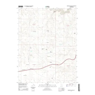
2014 Map of Drowned Hole Draw
USGS Topo · Published 2014About this map
The San Rafael River cuts through the northeast corner of this high desert landscape, flowing past the distinctive Black Box canyon. This 2014 survey reveals a territory defined by complex drainage systems and expansive flats, notably within the evocative Sinbad Country. Human infrastructure is sparse, concentrated primarily along Buckhorn Draw Rd and the Interstate 70 corridor, which traverses the southern portion of the map.
Find a feature on this map
28 named features on this map. Tap any name to fly to it.
Don’t see what you’re looking for? This feature index may not catch every label — zoom into the map to look around manually.
Map Details
Editions of this 2014 Drowned Hole Draw Map
This is the sole edition of this map. No revisions or reprints were ever made.
Other maps of this area

1885 · San Rafael
USGS Topo · 1:250,000

1886 · Price River
USGS Topo · 1:250,000

1896 · Price River
USGS Topo · 1:250,000

1953 · Red Plateau SE
USGS Topo · 1:24,000

1953 · Tidwell 2 SW
USGS Topo · 1:24,000

1953 · Red Plateau SW
USGS Topo · 1:24,000

1953 · Beckwith Peak SW
USGS Topo · 1:24,000

1953 · Tidwell 2 NW
USGS Topo · 1:24,000

1954 · Stinking Spring Creek 1 SE
USGS Topo · 1:24,000

1954 · Stinking Spring Creek 1 NW
USGS Topo · 1:24,000