Loading...
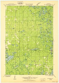
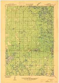
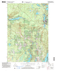
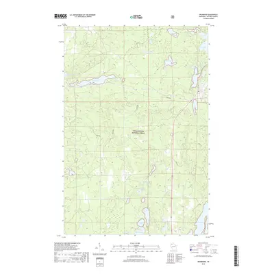
Loading map...1947 Map of Drummond
USGS Topo · Published 1951About this map
Drummond sits at the heart of this post-war landscape, where the interplay of conservation and early northern Wisconsin recreation is evident through the numerous camps and schools dotting the dense lake country. The map documents a transition in land use, showing an CCC Camp (Abandoned) alongside the established Old Chippewa Camp Ground, marking the shift from Depression-era public works to modern forest management within the National Forest boundaries.
Find a feature on this map
131 named features on this map. Tap any name to fly to it.
Don’t see what you’re looking for? This feature index may not catch every label — zoom into the map to look around manually.
Map Details
Date Portrayed1947
Date Published1951
PublisherU.S. Geological Survey
Map TypeTopographic
Scale1:48,000
Physical Dimensions19.57 x 27.44 inches
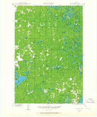
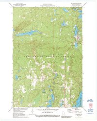
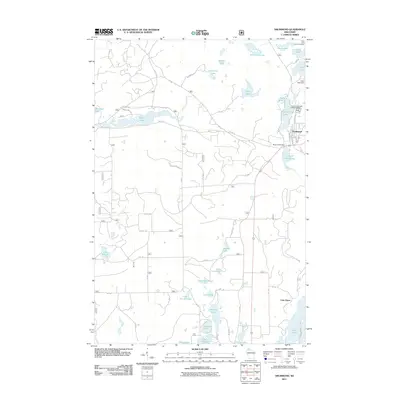
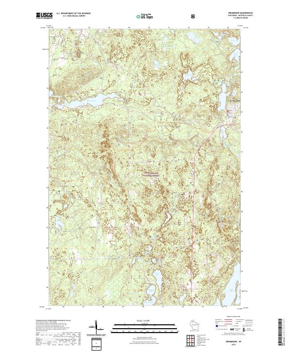
Editions of this 1947 Drummond Map
2 editions found
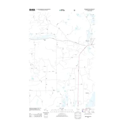
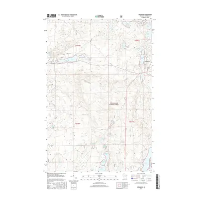
Historical Maps of Drummond Through Time
9 maps found
Featured Locations
Source Details
SourceU.S. Geological Survey
CopyrightPublic Domain