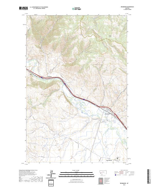
2024 Map of Drummond
USGS Topo · Published 2024About this map
The Clark Fork river valley serves as the central artery of this region, where the historical Mullan Rd and Old Hwy 10A track the corridor between the Garnet Range and the surrounding foothills. The settlement of Drummond acts as a focal point near the confluence with Flint Creek, surrounded by smaller locales like New Chicago, Bradman, and Ozan. This area is defined by its transition from the valley floor to high points such as King Mtn, with numerous drainages like Spring Gulch and Lyon Gulch cutting through the terrain.
Find a feature on this map
43 named features on this map. Tap any name to fly to it.
Don’t see what you’re looking for? This feature index may not catch every label — zoom into the map to look around manually.
Map Details
Editions of this 2024 Drummond Map
This is the sole edition of this map. No revisions or reprints were ever made.
Other maps of this area

1919 · Drummond
USGS Topo · 1:125,000

1921 · Drummond
USGS Topo · 1:125,000

1947 · Butte
USGS Topo · 1:250,000

1958 · Butte
USGS Topo · 1:250,000

1958 · Drummond
USGS Topo · 1:62,500

1959 · Bearmouth
USGS Topo · 1:62,500

1960 · Butte
USGS Topo · 1:250,000

1962 · Butte
USGS Topo · 1:250,000
1965 · Chimney Lakes
USGS Topo · 1:24,000

1965 · Wild Horse Parks
USGS Topo · 1:24,000