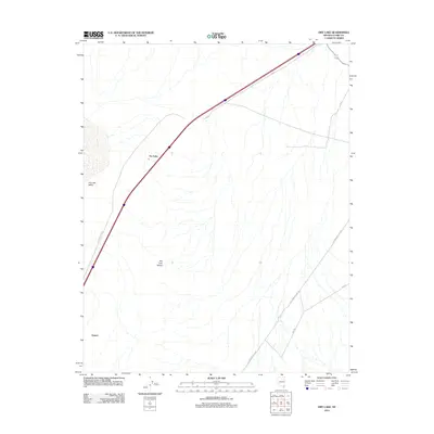
2012 Map of Dry Lake
USGS Topo · Published 2012About this map
Dry Lake sits at the heart of this Nevada desert landscape, positioned where the Dry Lake Valley meets the rising terrain of the Dry Lake Range. The settlement of Garnet and the Dry Lake rail siding area demonstrate the importance of transportation corridors in this arid environment. Modern infrastructure like Las Vegas Blvd N and S R 40 mirrors the historical movement through the region, most notably preserved in the path of Old Spanish Trail Rd, which cuts across the valley floor. This 2012 survey illustrates the intersection of ancient transit routes and 21st-century highway development in Clark County, showing how the natural geography of the basins continues to dictate the flow of travel through the Great Basin.
Find a feature on this map
8 named features on this map. Tap any name to fly to it.
Don’t see what you’re looking for? This feature index may not catch every label — zoom into the map to look around manually.
Map Details
Editions of this 2012 Dry Lake Map
This is the sole edition of this map. No revisions or reprints were ever made.
Other maps of this area
1886 · Saint Thomas
USGS Topo · 1:250,000
1893 · Saint Thomas
USGS Topo · 1:250,000
1926 · Boulder Canyon
USGS Topo · 1:96,000
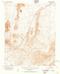
1952 · Dry Lake
USGS Topo · 1:62,500
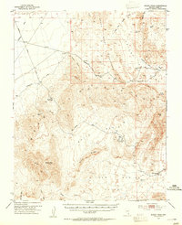
1953 · Muddy Peak
USGS Topo · 1:62,500
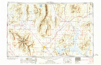
1954 · Las Vegas
USGS Topo · 1:250,000
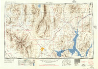
1957 · Las Vegas
USGS Topo · 1:250,000
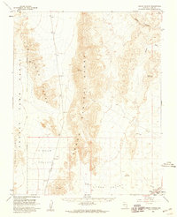
1958 · Arrow Canyon
USGS Topo · 1:62,500
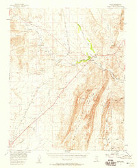
1958 · Moapa
USGS Topo · 1:62,500
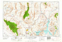
1959 · Las Vegas
USGS Topo · 1:250,000