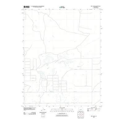
2010 Map of Dry Lakes
USGS Topo · Published 2010About this map
The eponymous Dry Lakes characterize this Alamosa County landscape, where the seasonal hydrography of the San Luis Valley is etched into the terrain. In this 2010 survey, the grid-based road system of Southern Colorado is well-defined, providing access to remote agricultural and grazing lands. Significant infrastructure for water management is visible, such as the Central Lateral, which illustrates the region's reliance on irrigation systems to support its arid environment. A network of arterial routes, including County Hwy-116 and County Hwy-4 S, connects these remote sections, while smaller tracks like Twomile Rd provide a more granular view of the local land divisions and property access points during the early 21st century.
Find a feature on this map
10 named features on this map. Tap any name to fly to it.
Don’t see what you’re looking for? This feature index may not catch every label — zoom into the map to look around manually.
Map Details
Editions of this 2010 Dry Lakes Map
This is the sole edition of this map. No revisions or reprints were ever made.
Other maps of this area

1954 · Trinidad
USGS Topo · 1:250,000

1955 · Trinidad
USGS Topo · 1:250,000

1958 · Trinidad
USGS Topo · 1:250,000

1959 · Trinidad
USGS Topo · 1:250,000

1965 · Medano Ranch
USGS Topo · 1:24,000

1965 · Blanca
USGS Topo · 1:24,000

1965 · Zapata Ranch
USGS Topo · 1:24,000

1965 · Baldy
USGS Topo · 1:24,000

1965 · Dry Lakes
USGS Topo · 1:24,000

1965 · Twin Peaks
USGS Topo · 1:24,000