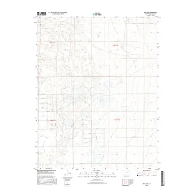
2016 Map of Dry Lakes
USGS Topo · Published 2016About this map
Dry Lakes and the surrounding high-altitude desert of the San Luis Valley are meticulously documented in this 2016 survey. The landscape is defined by a rigid grid of residential and agricultural roads, reflecting a planned land-division pattern. Notable thoroughfares such as Tyler Ave, Taft Ave, and Truman Ave bisect the terrain, intersecting with numbered streets ranging from 1st St up to Fifteen St. This geometric layout is interrupted by the natural depressions of the lakes and the functional course of the Central Lateral canal, which provides essential water management to this arid region. The map captures the transition between organized human settlement and the ephemeral water features of Alamosa County, showing how irrigation infrastructure like Rd 2 S and Twomile Rd integrates with the sparse natural hydrography.
Find a feature on this map
34 named features on this map. Tap any name to fly to it.
Don’t see what you’re looking for? This feature index may not catch every label — zoom into the map to look around manually.
Map Details
Editions of this 2016 Dry Lakes Map
This is the sole edition of this map. No revisions or reprints were ever made.
Other maps of this area

1954 · Trinidad
USGS Topo · 1:250,000

1955 · Trinidad
USGS Topo · 1:250,000

1958 · Trinidad
USGS Topo · 1:250,000

1959 · Trinidad
USGS Topo · 1:250,000

1965 · Medano Ranch
USGS Topo · 1:24,000

1965 · Blanca
USGS Topo · 1:24,000

1965 · Zapata Ranch
USGS Topo · 1:24,000

1965 · Baldy
USGS Topo · 1:24,000

1965 · Dry Lakes
USGS Topo · 1:24,000

1965 · Twin Peaks
USGS Topo · 1:24,000