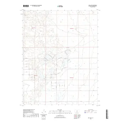
2019 Map of Dry Lakes
USGS Topo · Published 2019About this map
The High Desert wetlands of Alamosa County, Colorado, define this 2019 survey, where a complex network of seasonal lakes and marshes breaks the San Luis Valley floor. The landscape is structured by a rigid grid of rural corridors such as Twomile Rd and Co Rd 5 S, which provide access to a terrain largely dedicated to conservation and water management. Irrigation infrastructure is present through the Central Lateral, a vital waterway for the region's agricultural interests.
Find a feature on this map
34 named features on this map. Tap any name to fly to it.
Don’t see what you’re looking for? This feature index may not catch every label — zoom into the map to look around manually.
Map Details
Editions of this 2019 Dry Lakes Map
This is the sole edition of this map. No revisions or reprints were ever made.
Other maps of this area

1954 · Trinidad
USGS Topo · 1:250,000

1955 · Trinidad
USGS Topo · 1:250,000

1958 · Trinidad
USGS Topo · 1:250,000

1959 · Trinidad
USGS Topo · 1:250,000

1965 · Medano Ranch
USGS Topo · 1:24,000

1965 · Blanca
USGS Topo · 1:24,000

1965 · Zapata Ranch
USGS Topo · 1:24,000

1965 · Baldy
USGS Topo · 1:24,000

1965 · Dry Lakes
USGS Topo · 1:24,000

1965 · Twin Peaks
USGS Topo · 1:24,000