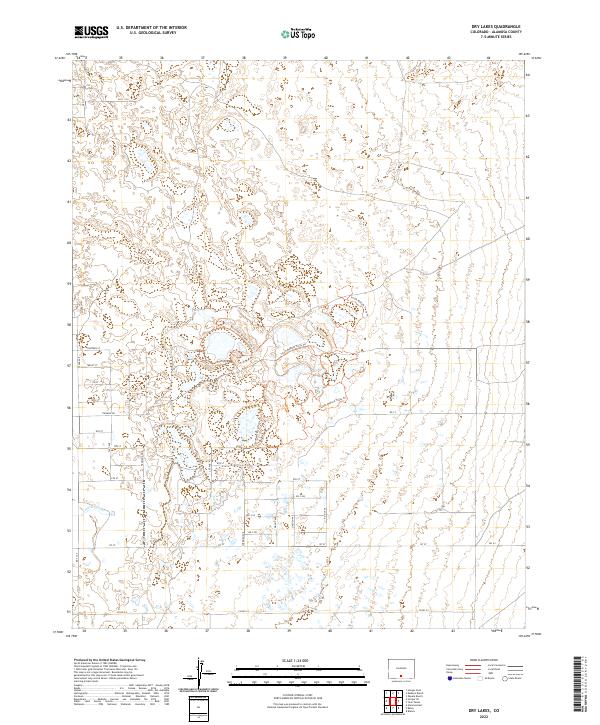
2022 Map of Dry Lakes
USGS Topo · Published 2022About this map
The Central Lateral irrigation channel cuts across the arid landscape of Alamosa County, reflecting the region's managed water systems. The terrain is defined by a grid of numbered roads and named avenues, including Taft Ave, Sherman Ave, and Grant Ave, which suggest a planned expansion or rural subdivision structure.
Find a feature on this map
35 named features on this map. Tap any name to fly to it.
Don’t see what you’re looking for? This feature index may not catch every label — zoom into the map to look around manually.
Map Details
Editions of this 2022 Dry Lakes Map
This is the sole edition of this map. No revisions or reprints were ever made.
Other maps of this area

1954 · Trinidad
USGS Topo · 1:250,000

1955 · Trinidad
USGS Topo · 1:250,000

1958 · Trinidad
USGS Topo · 1:250,000

1959 · Trinidad
USGS Topo · 1:250,000

1965 · Medano Ranch
USGS Topo · 1:24,000

1965 · Blanca
USGS Topo · 1:24,000

1965 · Zapata Ranch
USGS Topo · 1:24,000

1965 · Baldy
USGS Topo · 1:24,000

1965 · Dry Lakes
USGS Topo · 1:24,000

1965 · Twin Peaks
USGS Topo · 1:24,000