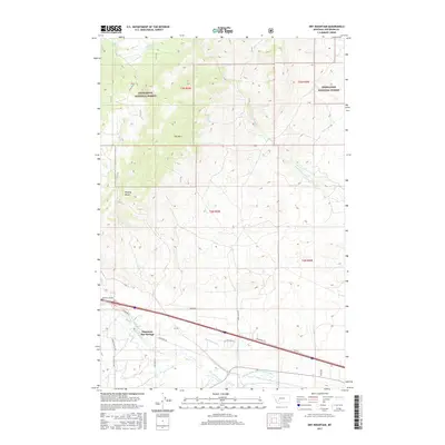
2017 Map of Dry Mountain
USGS Topo · Published 2017About this map
Pipestone Hot Springs serves as a focal point in this Jefferson County landscape, where the high-altitude terrain of the Deerlodge National Forest meets the developed water systems of the valley floor. The map highlights a complex network of irrigation and drainage, including the Pipestone Ditch and the Paul-McArthur Ditch Number One, which trace the path of the Big Pipestone Cr. These features indicate the critical role of water management for local agriculture and settlement near the base of the mountains.
Find a feature on this map
29 named features on this map. Tap any name to fly to it.
Don’t see what you’re looking for? This feature index may not catch every label — zoom into the map to look around manually.
Map Details
Editions of this 2017 Dry Mountain Map
This is the sole edition of this map. No revisions or reprints were ever made.
Other maps of this area

1889 · Helena
USGS Topo · 1:250,000

1893 · Helena
USGS Topo · 1:250,000

1893 · Dillon
USGS Topo · 1:250,000

1899 · Boulder
USGS Topo · 1:125,000

1899 · Helena
USGS Topo · 1:250,000

1903 · Helena
USGS Topo · 1:250,000

1947 · Butte
USGS Topo · 1:250,000

1954 · Elk Park
USGS Topo · 1:62,500

1954 · Boulder
USGS Topo · 1:62,500

1955 · Dillon
USGS Topo · 1:250,000