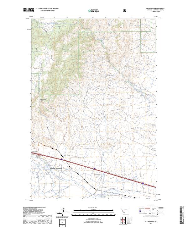
2024 Map of Dry Mountain
USGS Topo · Published 2024About this map
Pipestone Hot Springs serves as a focal point for this section of Jefferson County, where the transition from high mountain peaks to irrigated valley floors is clearly defined. The terrain is dominated by the Boulder Mountains and the prominent Dry Mtn, with a portion of the landscape preserved within the Deerlodge National Forest. Significant geological interest is found at Ringing Rocks, accessible via the Ringing Rocks Trl.
Find a feature on this map
40 named features on this map. Tap any name to fly to it.
Don’t see what you’re looking for? This feature index may not catch every label — zoom into the map to look around manually.
Map Details
Editions of this 2024 Dry Mountain Map
This is the sole edition of this map. No revisions or reprints were ever made.
Other maps of this area

1889 · Helena
USGS Topo · 1:250,000

1893 · Helena
USGS Topo · 1:250,000

1893 · Dillon
USGS Topo · 1:250,000

1899 · Boulder
USGS Topo · 1:125,000

1899 · Helena
USGS Topo · 1:250,000

1903 · Helena
USGS Topo · 1:250,000

1947 · Butte
USGS Topo · 1:250,000

1954 · Elk Park
USGS Topo · 1:62,500

1954 · Boulder
USGS Topo · 1:62,500

1955 · Dillon
USGS Topo · 1:250,000