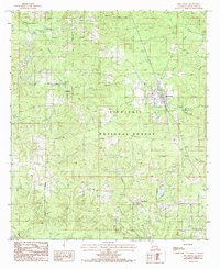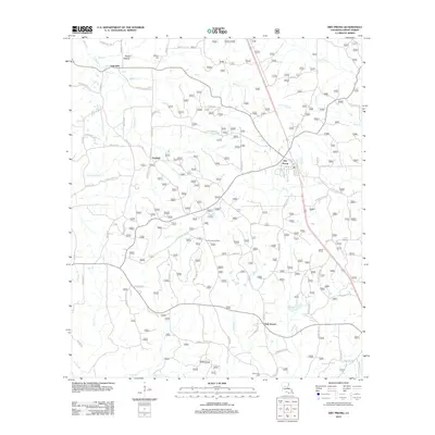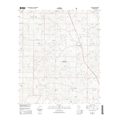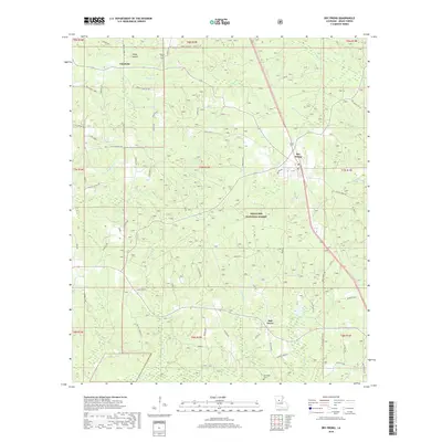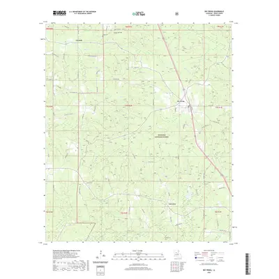
2003 Map of Dry Prong
USGS Topo · Published 2005About this map
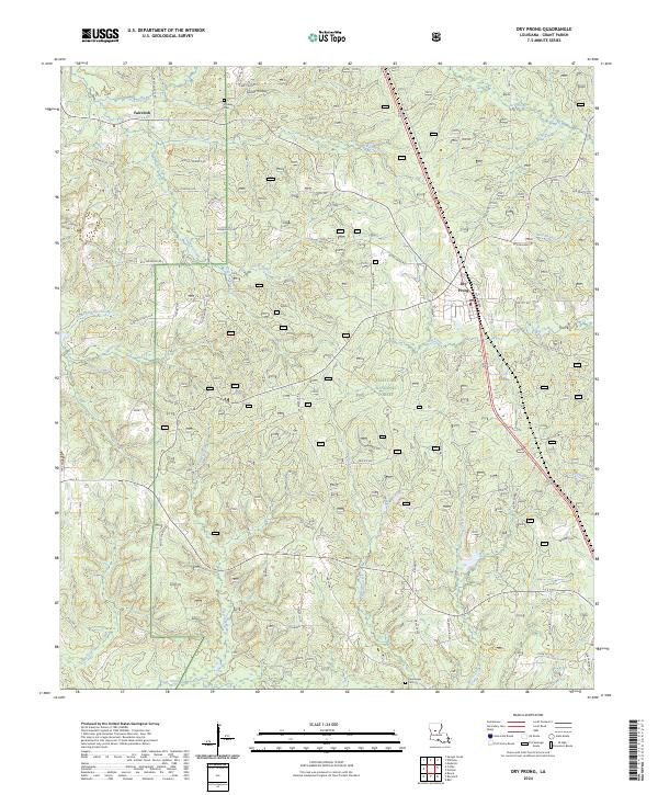
Dry Prong and the surrounding woodlands of the Kisatchie National Forest characterize this part of Grant Parish at the turn of the 21st century. The landscape is a network of creek drainages, including Black Creek, Cypress Creek, and Big Creek, which flow through heavily forested terrain dotted with small communities like Faircloth and Fairfield. The presence of the Grant Parish High School near the town center of Dry Prong and several scattered cemeteries provides valuable location data for genealogists tracing local families in this timber-rich region of central Louisiana.
Find a feature on this map
29 named features on this map. Tap any name to fly to it.
Don’t see what you’re looking for? This feature index may not catch every label — zoom into the map to look around manually.
Map Details
Editions of this 2003 Dry Prong Map
This is the sole edition of this map. No revisions or reprints were ever made.
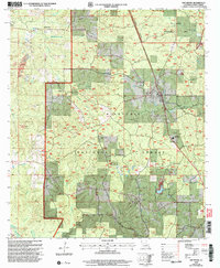
Historical Maps of Dry Prong Through Time
7 maps found