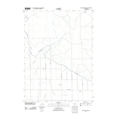
2011 Map of Dry Sheep Creek
USGS Topo · Published 2011About this map
Agricultural development in the Dutch Flats region of Sioux County relies heavily on an intricate irrigation network, centered around the Interstate Canal. This 2011 survey reveals a landscape engineered for water management, where numerous numbered laterals like Lateral 11 Main and Lateral Number 10 branch off to support the surrounding fields. The natural drainage of Dry Sheep Creek winds through the northern and western portions of the quadrangle, contrasting with the geometric precision of the irrigation ditches.
Find a feature on this map
31 named features on this map. Tap any name to fly to it.
Don’t see what you’re looking for? This feature index may not catch every label — zoom into the map to look around manually.
Map Details
Editions of this 2011 Dry Sheep Creek Map
This is the sole edition of this map. No revisions or reprints were ever made.
Other maps of this area

1896 · Patrick
USGS Topo · 1:125,000

1898 · Scotts Bluff
USGS Topo · 1:125,000

1899 · Goshen Hole
USGS Topo · 1:125,000

1899 · Whistle Creek
USGS Topo · 1:125,000

1954 · Scottsbluff
USGS Topo · 1:250,000

1954 · Torrington
USGS Topo · 1:250,000

1954 · Cheyenne
USGS Topo · 1:250,000

1955 · Alliance
USGS Topo · 1:250,000

1957 · Alliance
USGS Topo · 1:250,000

1958 · Cheyenne
USGS Topo · 1:250,000