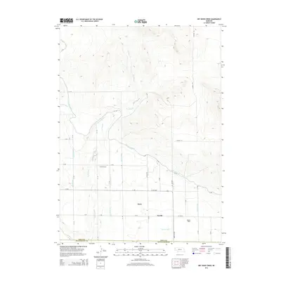
2014 Map of Dry Sheep Creek
USGS Topo · Published 2014About this map
Dry Sheep Cr meanders through the high plains of the Nebraska Panhandle, cutting through a landscape defined by an extensive system of irrigation engineering. This 2014 survey reveals the vital role of water management in the region, centered on the Interstate Canal and its numerous branches, such as Lateral 7 Main and Lateral Number 8. These waterways support the agricultural expanse of Dutch Flats, where the grid of rural roads like Harrison Rd and S C RD organizes the territory. Small settlements and specialized locations appear throughout the quadrangle, including the rural communities of Roach and Scoville, as well as the Svitak Airport. The boundary between Sioux Co and Scotts Bluff Co at the southern edge of the sheet marks a transition in local jurisdiction within this developed prairie environment.
Find a feature on this map
33 named features on this map. Tap any name to fly to it.
Don’t see what you’re looking for? This feature index may not catch every label — zoom into the map to look around manually.
Map Details
Editions of this 2014 Dry Sheep Creek Map
This is the sole edition of this map. No revisions or reprints were ever made.
Other maps of this area

1896 · Patrick
USGS Topo · 1:125,000

1898 · Scotts Bluff
USGS Topo · 1:125,000

1899 · Goshen Hole
USGS Topo · 1:125,000

1899 · Whistle Creek
USGS Topo · 1:125,000

1954 · Scottsbluff
USGS Topo · 1:250,000

1954 · Torrington
USGS Topo · 1:250,000

1954 · Cheyenne
USGS Topo · 1:250,000

1955 · Alliance
USGS Topo · 1:250,000

1957 · Alliance
USGS Topo · 1:250,000

1958 · Cheyenne
USGS Topo · 1:250,000