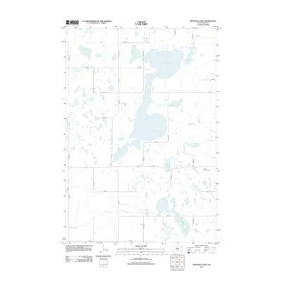
2012 Map of Drywood Lakes
USGS Topo · Published 2012About this map
Drywood Lakes and a complex network of glacial potholes dominate this Roberts County landscape, illustrating the water-rich geography of the Coteau des Prairies. The 2012 survey by the U.S. Geological Survey details a rural infrastructure of section-line roads, including Co Hwy 1 and numerous numbered avenues and streets that grid the prairie. The presence of the Bethel Lutheran Cem near the eastern edge provides a specific point of interest for genealogists tracing local families in the Old Agency District. Notable water bodies such as Lake Martha, Lake Whipple, and Tahana Lake are interspersed with drainage features like Goodwill Cr and Chekepa Cr, reflecting the natural drainage patterns of this high-plateau region. This map serves as a clear record of the area's rural layout and natural hydrography at the start of the 2010s.
Find a feature on this map
27 named features on this map. Tap any name to fly to it.
Don’t see what you’re looking for? This feature index may not catch every label — zoom into the map to look around manually.
Map Details
Editions of this 2012 Drywood Lakes Map
This is the sole edition of this map. No revisions or reprints were ever made.
Other maps of this area

1953 · Milbank
USGS Topo · 1:250,000

1958 · Milbank
USGS Topo · 1:250,000

1970 · Whitestone Lake
USGS Topo · 1:24,000

1970 · Sisseton
USGS Topo · 1:24,000

1970 · Summit NE
USGS Topo · 1:24,000

1970 · South Red Iron Lake
USGS Topo · 1:24,000

1970 · Piyas Lake
USGS Topo · 1:24,000

1970 · Enemy Swim Lake East
USGS Topo · 1:24,000

1970 · Goodwill
USGS Topo · 1:24,000

1970 · Drywood Lakes
USGS Topo · 1:24,000