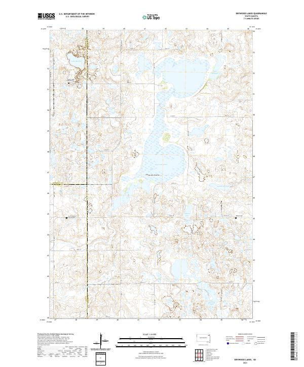
2021 Map of Drywood Lakes
USGS Topo · Published 2021About this map
The Coteau des Prairies plateau defines this region of the Dakotas, where glacial activity left behind a high concentration of water bodies and marshlands. Dominating the center of this landscape are the Drywood Lakes, surrounded by smaller basins including Lake Martha, Lake Whipple, and Tahana Lake. These natural reservoirs are part of a drainage system that includes Goodwill Creek and Chekepa Cr, carving through the prairie elevations.
Find a feature on this map
38 named features on this map. Tap any name to fly to it.
Don’t see what you’re looking for? This feature index may not catch every label — zoom into the map to look around manually.
Map Details
Editions of this 2021 Drywood Lakes Map
This is the sole edition of this map. No revisions or reprints were ever made.
Other maps of this area

1953 · Milbank
USGS Topo · 1:250,000

1958 · Milbank
USGS Topo · 1:250,000

1970 · Whitestone Lake
USGS Topo · 1:24,000

1970 · Sisseton
USGS Topo · 1:24,000

1970 · Summit NE
USGS Topo · 1:24,000

1970 · South Red Iron Lake
USGS Topo · 1:24,000

1970 · Piyas Lake
USGS Topo · 1:24,000

1970 · Enemy Swim Lake East
USGS Topo · 1:24,000

1970 · Goodwill
USGS Topo · 1:24,000

1970 · Drywood Lakes
USGS Topo · 1:24,000