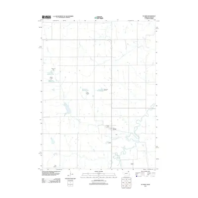
2012 Map of Du Bois
USGS Topo · Published 2012About this map
Du Bois anchors this 2012 survey in Pawnee County, Nebraska, where the community and its Du Bois Post Office sit near the meandering banks of the South Fork Big Nemaha River. The landscape is defined by its agrarian patterns and water management systems, featuring numerous flood control structures like South Fork Reservoir 2-10 and South Fork Reservoir 11-1. Genealogy researchers will find significant value in the documentation of several local burial grounds, including the Saint Peters Cemetery in the southwest and Cincinnati Cemetery to the southeast. The drainage network is intricately mapped, showing how Lores Branch and Dry Branch feed into the larger river system, while local transit is represented by routes such as Iron Horse Lake Rd and various Co Rd segments.
Find a feature on this map
18 named features on this map. Tap any name to fly to it.
Don’t see what you’re looking for? This feature index may not catch every label — zoom into the map to look around manually.
Map Details
Editions of this 2012 Du Bois Map
This is the sole edition of this map. No revisions or reprints were ever made.
Other maps of this area

1888 · Hiawatha
USGS Topo · 1:125,000

1889 · Seneca
USGS Topo · 1:125,000

1894 · Seneca
USGS Topo · 1:125,000

1894 · Hiawatha
USGS Topo · 1:125,000

1916 · Humboldt
USGS Topo · 1:62,500

1950 · Kansas City
USGS Topo · 1:250,000

1954 · Kansas City
USGS Topo · 1:250,000

1955 · Manhattan
USGS Topo · 1:250,000

1955 · Nebraska City
USGS Topo · 1:250,000

1955 · Lincoln
USGS Topo · 1:250,000