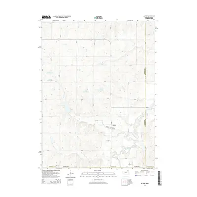
2014 Map of Du Bois
USGS Topo · Published 2014About this map
Du Bois is the primary settlement on this Nebraska landscape, situated near the meandering path of the South Fork Big Nemaha River. The town grid, featuring streets such as Miner St and Locust St, serves as a hub for the surrounding agricultural community. The terrain is defined by a series of drainage systems including Lores Br and Dry Br, which are managed through several water control structures like S Fork Reservoir 4-2 and S Fork Reservoir 11-1. This 2014 survey records a landscape shaped by both natural hydrology and human-made reservoirs.
Find a feature on this map
43 named features on this map. Tap any name to fly to it.
Don’t see what you’re looking for? This feature index may not catch every label — zoom into the map to look around manually.
Map Details
Editions of this 2014 Du Bois Map
This is the sole edition of this map. No revisions or reprints were ever made.
Other maps of this area

1888 · Hiawatha
USGS Topo · 1:125,000

1889 · Seneca
USGS Topo · 1:125,000

1894 · Seneca
USGS Topo · 1:125,000

1894 · Hiawatha
USGS Topo · 1:125,000

1916 · Humboldt
USGS Topo · 1:62,500

1950 · Kansas City
USGS Topo · 1:250,000

1954 · Kansas City
USGS Topo · 1:250,000

1955 · Manhattan
USGS Topo · 1:250,000

1955 · Nebraska City
USGS Topo · 1:250,000

1955 · Lincoln
USGS Topo · 1:250,000