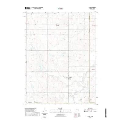
2017 Map of Du Bois
USGS Topo · Published 2017About this map
Du Bois serves as the primary settlement in this corner of Pawnee County, situated where the South Fork Big Nemaha River winds through the southern Nebraska landscape. The village layout is defined by Walnut St, Pine St, and Locust St, reflecting a traditional gridiron plan common to regional agricultural hubs. The surrounding countryside is heavily dissected by tributaries including Lores Br and Dry Br, which flow toward the river valley.
Find a feature on this map
44 named features on this map. Tap any name to fly to it.
Don’t see what you’re looking for? This feature index may not catch every label — zoom into the map to look around manually.
Map Details
Editions of this 2017 Du Bois Map
This is the sole edition of this map. No revisions or reprints were ever made.
Other maps of this area

1888 · Hiawatha
USGS Topo · 1:125,000

1889 · Seneca
USGS Topo · 1:125,000

1894 · Seneca
USGS Topo · 1:125,000

1894 · Hiawatha
USGS Topo · 1:125,000

1916 · Humboldt
USGS Topo · 1:62,500

1950 · Kansas City
USGS Topo · 1:250,000

1954 · Kansas City
USGS Topo · 1:250,000

1955 · Manhattan
USGS Topo · 1:250,000

1955 · Nebraska City
USGS Topo · 1:250,000

1955 · Lincoln
USGS Topo · 1:250,000