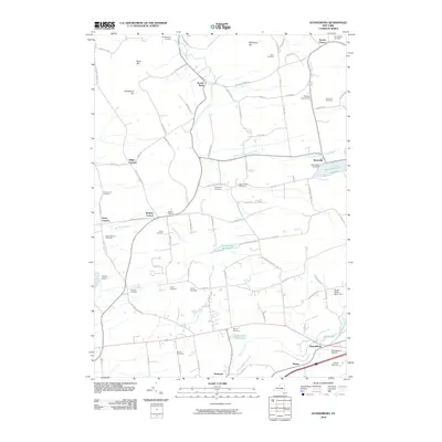
2010 Map of Duanesburg
USGS Topo · Published 2010About this map
Mariaville Lake and the surrounding hills define this area of Schenectady County, where legacy family names and small settlements dot the landscape. The map reveals a dense network of burial grounds essential for genealogical research, ranging from the Chuctanunda Cemetery in the north to the Wood Cemetery near the Delanson Reservoir. Local heritage is anchored by landmarks like the Duane Mansion and the historic Scotch Church, located near the northern boundary.
Find a feature on this map
92 named features on this map. Tap any name to fly to it.
Don’t see what you’re looking for? This feature index may not catch every label — zoom into the map to look around manually.
Map Details
Editions of this 2010 Duanesburg Map
This is the sole edition of this map. No revisions or reprints were ever made.
Other maps of this area

1895 · Amsterdam
USGS Topo · 1:62,500

1896 · Fonda
USGS Topo · 1:62,500

1898 · Fonda
USGS Topo · 1:62,500

1898 · Schoharie
USGS Topo · 1:62,500

1900 · Schoharie
USGS Topo · 1:62,500

1900 · Schoharie
USGS Topo · 1:31,680

1900 · Berne
USGS Topo · 1:62,500

1902 · Fonda
USGS Topo · 1:62,500

1903 · Berne
USGS Topo · 1:62,500

1931 · Amsterdam
USGS Topo · 1:62,500