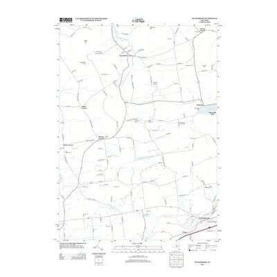
2013 Map of Duanesburg
USGS Topo · Published 2013About this map
Mariaville Lake and the Duanesburg Reservoir anchor a landscape defined by small agrarian settlements and aviation history. Modern agriculture remains a cornerstone of the area, as evidenced by operations like the Rulison Honey Farm, Merry Hill Farm, and Scotch Ridge Berry Farm. The transport and infrastructure of the region are reflected in the various landing strips, including Six Ponds Airport and the Mariaville Aerodrome, which serve the rural corridors between Scotch Bush and Duanesburg.
Find a feature on this map
120 named features on this map. Tap any name to fly to it.
Don’t see what you’re looking for? This feature index may not catch every label — zoom into the map to look around manually.
Map Details
Editions of this 2013 Duanesburg Map
This is the sole edition of this map. No revisions or reprints were ever made.
Other maps of this area

1895 · Amsterdam
USGS Topo · 1:62,500

1896 · Fonda
USGS Topo · 1:62,500

1898 · Fonda
USGS Topo · 1:62,500

1898 · Schoharie
USGS Topo · 1:62,500

1900 · Schoharie
USGS Topo · 1:62,500

1900 · Schoharie
USGS Topo · 1:31,680

1900 · Berne
USGS Topo · 1:62,500

1902 · Fonda
USGS Topo · 1:62,500

1903 · Berne
USGS Topo · 1:62,500

1931 · Amsterdam
USGS Topo · 1:62,500