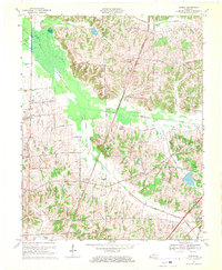
1969 Map of Dublin
USGS Topo · Published 1970About this map
The agricultural landscape of the Hickman Co Graves Co border is defined by low-lying wetlands and a network of rural settlements in the late 1960s. Murphy Pond and the surrounding swamps of Obion Creek dominate the northwest corner, illustrating the persistent drainage challenges of the Jackson Purchase region. To the east, the terrain rises toward Baltimore Hill, where a tighter cluster of farm-to-market roads serves the communities of Dublin and Baltimore.
Find a feature on this map
45 named features on this map. Tap any name to fly to it.
Don’t see what you’re looking for? This feature index may not catch every label — zoom into the map to look around manually.
Map Details
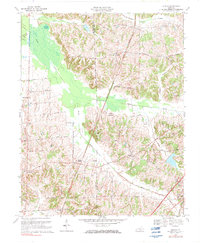
Editions of this 1969 Dublin Map
2 editions found
Other maps of this area

1951 · Milburn
USGS Topo · 1:24,000

1951 · Hickory
USGS Topo · 1:24,000

1951 · Hickory
USGS Topo · 1:62,500

1952 · Clinton
USGS Topo · 1:24,000

1952 · Mayfield
USGS Topo · 1:24,000

1952 · Dublin
USGS Topo · 1:24,000

1952 · Crutchfield
USGS Topo · 1:24,000

1952 · Cuba
USGS Topo · 1:24,000

1952 · Fancy Farm
USGS Topo · 1:24,000

1952 · Water Valley
USGS Topo · 1:24,000