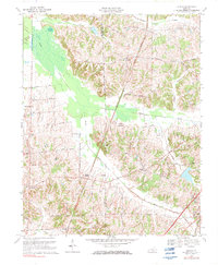
1969 Map of Dublin
USGS Topo · Published 1983About this map
Dublin and the surrounding rural landscape of Graves County are defined by a network of small creeks and rail lines that once anchored this agricultural community. The Illinois Central railroad cuts through the terrain, passing through Watts Station and south toward Wingo. This map shows the area as it transitioned into the late 20th century, with the Purchase Parkway introducing a modern corridor through the countryside. Local life is centered around several historic congregations and educational sites, including Pleasant Valley Ch, McClure Chapel, and the Folks School. The natural geography is dominated by the sprawling wetlands of Murphy Pond and the drainage of Obion Creek, providing a detailed look at the drainage patterns and the Hickman and Graves County line.
Find a feature on this map
32 named features on this map. Tap any name to fly to it.
Don’t see what you’re looking for? This feature index may not catch every label — zoom into the map to look around manually.
Map Details
Editions of this 1969 Dublin Map
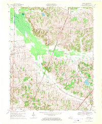
2 editions found
Other maps of this area

1951 · Milburn
USGS Topo · 1:24,000

1951 · Hickory
USGS Topo · 1:24,000

1951 · Hickory
USGS Topo · 1:62,500

1952 · Clinton
USGS Topo · 1:24,000

1952 · Mayfield
USGS Topo · 1:24,000

1952 · Dublin
USGS Topo · 1:24,000

1952 · Crutchfield
USGS Topo · 1:24,000

1952 · Cuba
USGS Topo · 1:24,000

1952 · Fancy Farm
USGS Topo · 1:24,000

1952 · Water Valley
USGS Topo · 1:24,000