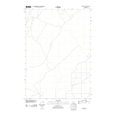
2010 Map of Dubois SE
USGS Topo · Published 2010About this map
Camas Creek winds through the northwestern corner of this high-desert landscape in Fremont County, providing a vital water source in an otherwise arid expanse. The terrain is defined by a sparse but organized road network, with routes like Taylor Rd following section lines that reflect the region's agricultural and grazing history. The southeastern portion of the map shows a shift in land use with the appearance of localized irrigation or access roads, including Davis Lake Rd, which serve the remote ranching and farming operations typical of this part of eastern Idaho. This 2010 survey reflects the enduring grid-based settlement pattern that has persisted for decades, showing how water access and road infrastructure dictate the human footprint in this quiet corner of the Snake River Plain vicinity.
Find a feature on this map
3 named features on this map. Tap any name to fly to it.
Don’t see what you’re looking for? This feature index may not catch every label — zoom into the map to look around manually.
Map Details
Editions of this 2010 Dubois SE Map
This is the sole edition of this map. No revisions or reprints were ever made.
Other maps of this area

1951 · Plano
USGS Topo · 1:24,000

1955 · Dubois
USGS Topo · 1:250,000

1955 · Idaho Falls
USGS Topo · 1:250,000

1955 · Ashton
USGS Topo · 1:250,000

1955 · Driggs
USGS Topo · 1:250,000

1958 · Driggs
USGS Topo · 1:250,000

1958 · Dubois
USGS Topo · 1:250,000

1958 · Idaho Falls
USGS Topo · 1:250,000

1958 · Ashton
USGS Topo · 1:250,000

1960 · Ashton
USGS Topo · 1:250,000