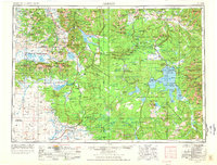
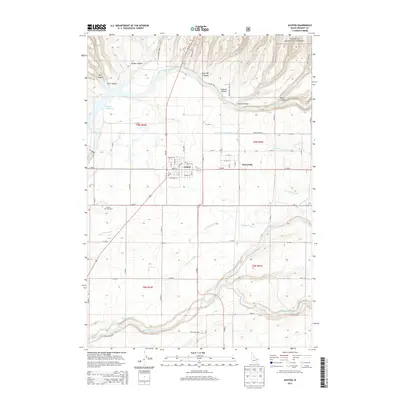
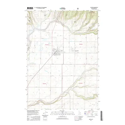
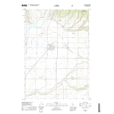
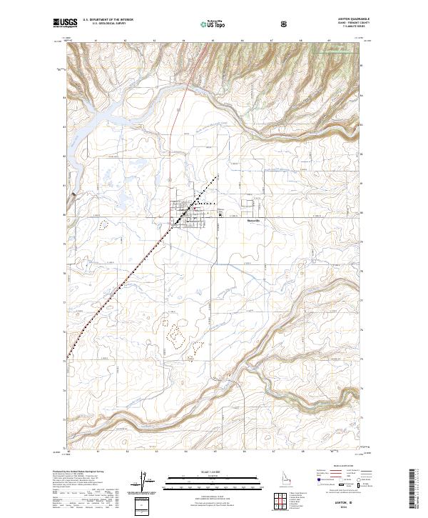
1958 Map of Ashton
USGS Topo · Published 1958About this map
Yellowstone Lake and the high volcanic plateaus of the northern Rockies dominate this 1950s survey, capturing the region as post-war tourism began to intensify. The Union Pacific railroad line is visible pushing north through Ashton toward West Yellowstone, supporting the gateway economy and local agriculture in the southwest corner. The map documents a complex landscape of federal oversight, where Yellowstone National Park meets the Targhee, Gallatin, and Beaverhead national forests.
Find a feature on this map
156 named features on this map. Tap any name to fly to it.
Don’t see what you’re looking for? This feature index may not catch every label — zoom into the map to look around manually.
Map Details
Editions of this 1958 Ashton Map
This is the sole edition of this map. No revisions or reprints were ever made.
Historical Maps of West Yellowstone Through Time
10 maps found