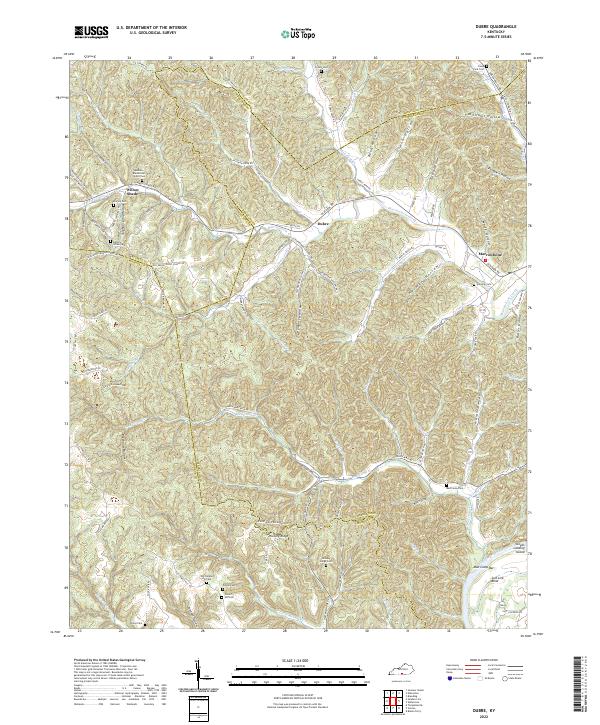
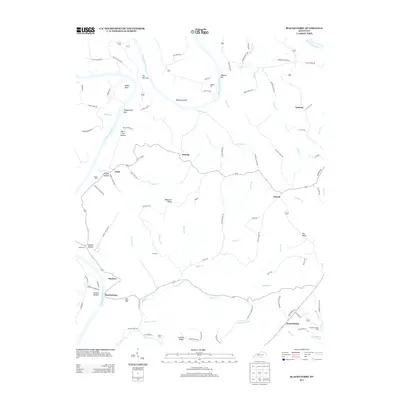
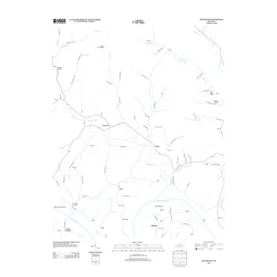
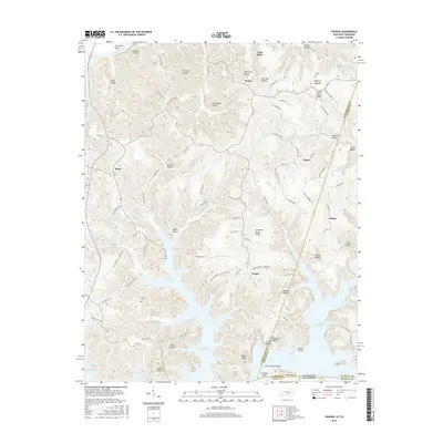
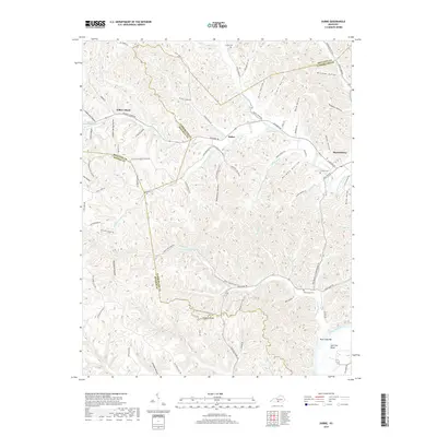
2022 Map of Dubre
USGS Topo · Published 2022About this map
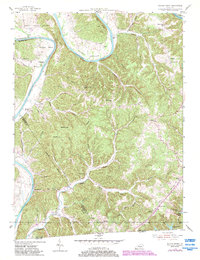
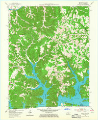
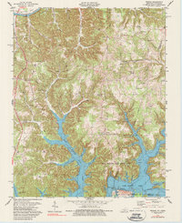
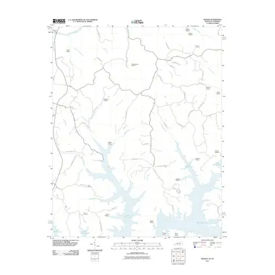
Willow Shade and Dubre sit at the intersection of a complex valley system where the boundaries of Metcalfe, Cumberland, and Monroe counties converge. This southern Kentucky landscape is defined by the winding course of Marrowbone Creek and its many tributaries, including Mud Camp Cr and Leatherwood Cr. The topography is marked by a high density of named hollows, such as Stillhouse Hollow and Sulphur Spring Hollow, which trace the local drainage patterns toward the larger watercourses.
Find a feature on this map
101 named features on this map. Tap any name to fly to it.
Don’t see what you’re looking for? This feature index may not catch every label — zoom into the map to look around manually.
Map Details
Editions of this 2022 Dubre Map
This is the sole edition of this map. No revisions or reprints were ever made.
Historical Maps of Willow Shade Through Time
31 maps found
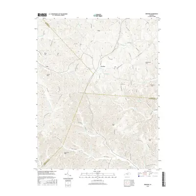
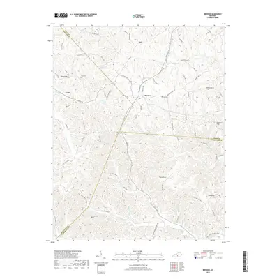
1953 Breeding
Cumberland County, KY
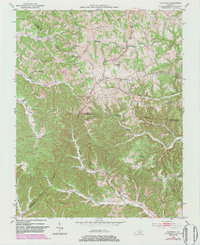
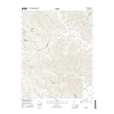
1953 Dubre
Cumberland County, KY
1953 Waterview
Cumberland County, KY
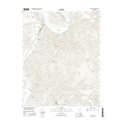
1954 Blacks Ferry
Cumberland County, KY
1954 Frogue
Cumberland County, KY
1978 Frogue
Cumberland County, KY
2010 Blacks Ferry
Cumberland County, KY
2010 Breeding
Cumberland County, KY
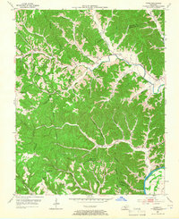
2010 Dubre
Cumberland County, KY
2010 Waterview
Cumberland County, KY
2011 Frogue
Cumberland County, KY
2013 Blacks Ferry
Cumberland County, KY
2013 Breeding
Cumberland County, KY
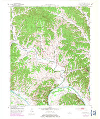
2013 Dubre
Cumberland County, KY
2013 Frogue
Cumberland County, KY
2013 Waterview
Cumberland County, KY
2016 Blacks Ferry
Cumberland County, KY
2016 Breeding
Cumberland County, KY
2016 Dubre
Cumberland County, KY
2016 Frogue
Cumberland County, KY
2016 Waterview
Cumberland County, KY
2019 Blacks Ferry
Cumberland County, KY
2019 Breeding
Cumberland County, KY
2019 Dubre
Cumberland County, KY
2019 Frogue
Cumberland County, KY
2019 Waterview
Cumberland County, KY
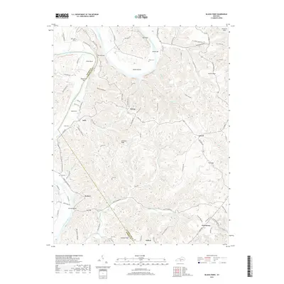
2022 Blacks Ferry
Cumberland County, KY
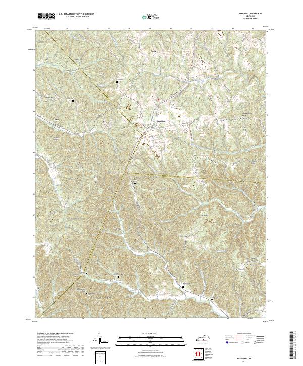
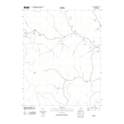
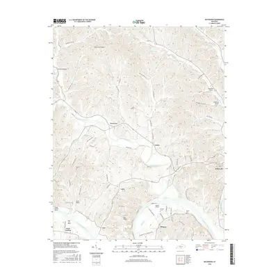
2022 Breeding
Cumberland County, KY
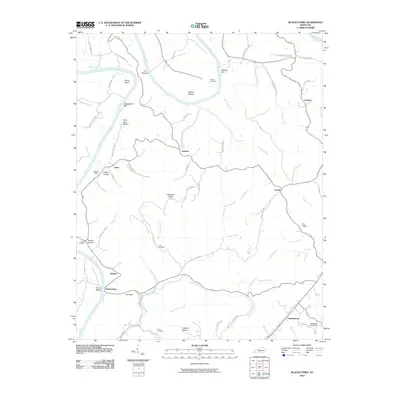
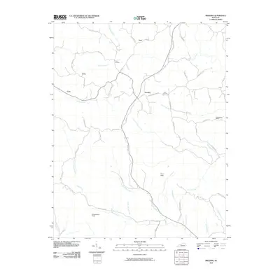
2022 Dubre
Cumberland County, KY
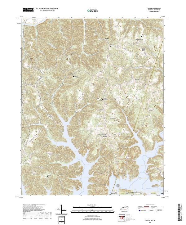
2022 Frogue
Cumberland County, KY
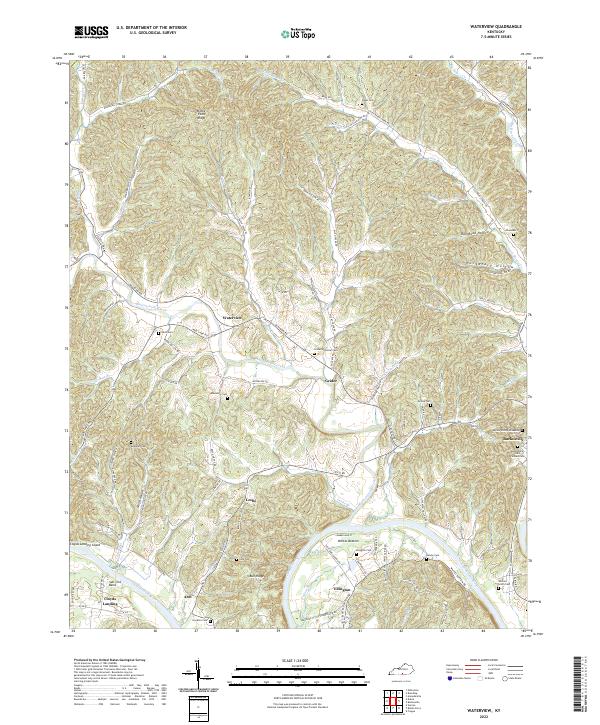
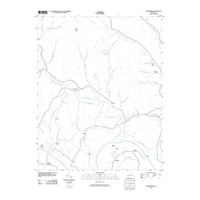
2022 Waterview
Cumberland County, KY