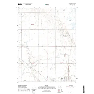
2022 Map of Dubuque
USGS Topo · Published 2022About this map
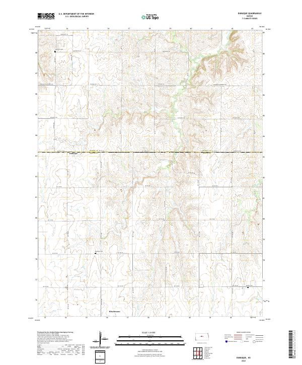
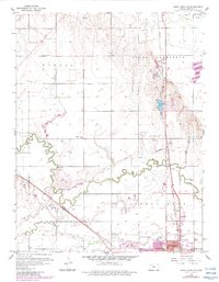
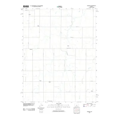
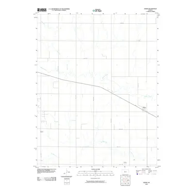
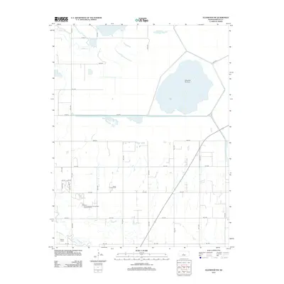
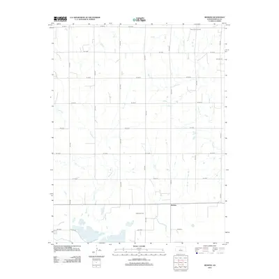
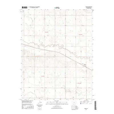
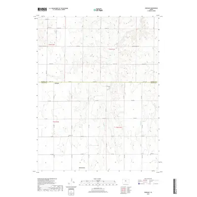
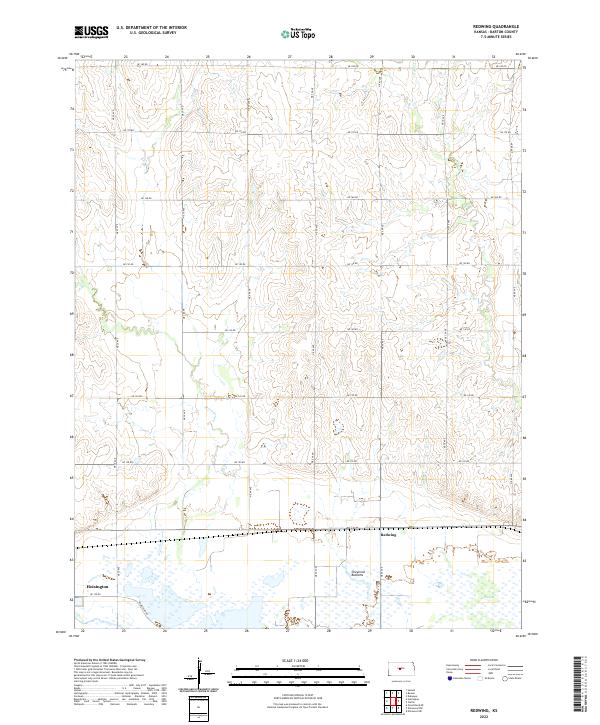
Dubuque and Hitschmann anchor this agricultural landscape on the border of Barton and Russell counties. The terrain is defined by the drainages of Coal Cr and Blood Cr, which cut through the high plains. This 2022 survey documents a rural infrastructure where family and community legacy is preserved through the Lutheran Cem, Dubuque Cem, and Bethel Cem. The road network follows a strict section-line grid, featuring thoroughfares named for local families and destinations such as Michaelis Rd, Stickney Rd, and Dubuque Ellsworth Rd. This layout reflects the enduring Public Land Survey System structure that has governed Kansas land division since the mid-19th century, maintaining a consistent pattern of isolated farmsteads and small crossroads settlements.
Find a feature on this map
24 named features on this map. Tap any name to fly to it.
Don’t see what you’re looking for? This feature index may not catch every label — zoom into the map to look around manually.
Map Details
Editions of this 2022 Dubuque Map
This is the sole edition of this map. No revisions or reprints were ever made.
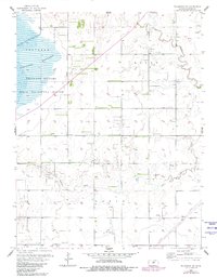
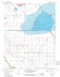
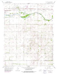
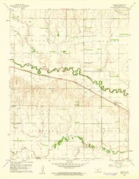
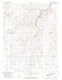
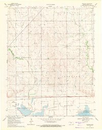
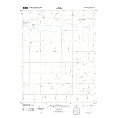
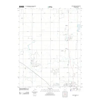
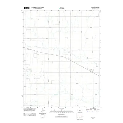
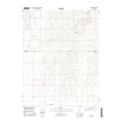
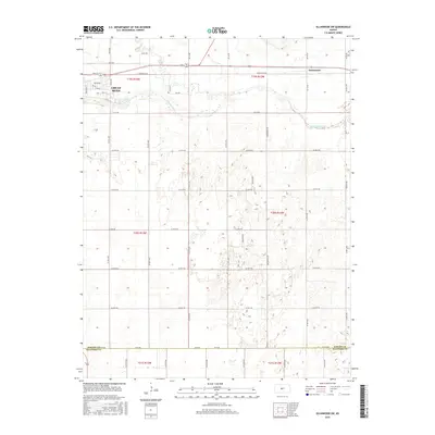
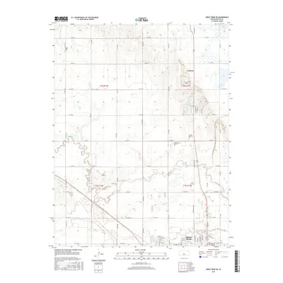
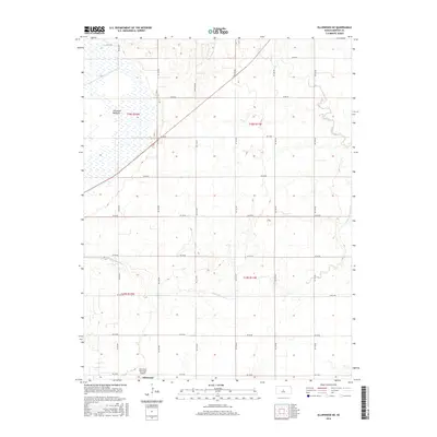
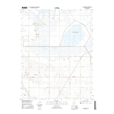
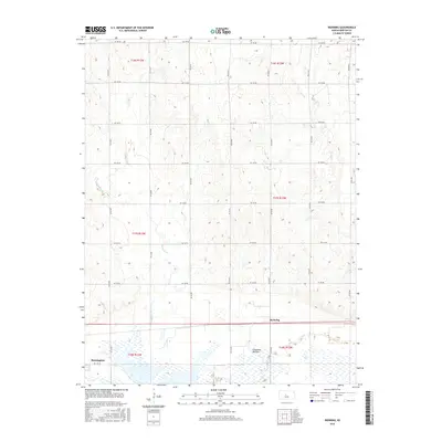
Historical Maps of Dubuque Through Time
42 maps found
1956 Ellinwood NE
Barton County, KS
1956 Ellinwood NW
Barton County, KS
1957 Ellinwood SW
Barton County, KS
1959 Great Bend NE
Barton County, KS
1960 Heizer
Barton County, KS
1969 Dubuque
Barton County, KS
1969 Redwing
Barton County, KS
2009 Dubuque
Barton County, KS
2009 Ellinwood NE
Barton County, KS

2009 Ellinwood NW
Barton County, KS
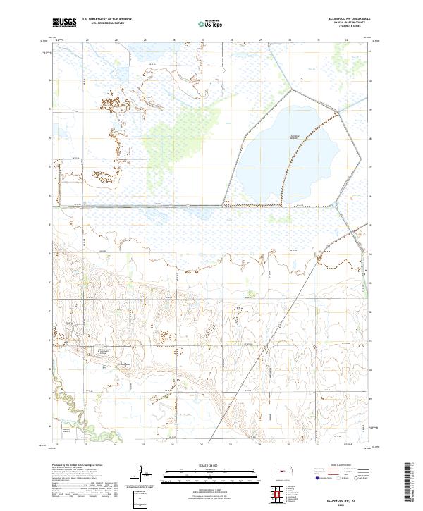
2009 Ellinwood SW
Barton County, KS
2009 Great Bend NE
Barton County, KS
2009 Heizer
Barton County, KS
2009 Redwing
Barton County, KS
2012 Dubuque
Barton County, KS
2012 Ellinwood NE
Barton County, KS
2012 Ellinwood NW
Barton County, KS
2012 Ellinwood SW
Barton County, KS
2012 Great Bend NE
Barton County, KS
2012 Heizer
Barton County, KS
2012 Redwing
Barton County, KS
2015 Dubuque
Barton County, KS
2015 Ellinwood SW
Barton County, KS
2015 Great Bend NE
Barton County, KS
2015 Heizer
Barton County, KS
2016 Ellinwood NE
Barton County, KS
2016 Ellinwood NW
Barton County, KS
2016 Redwing
Barton County, KS
2018 Dubuque
Barton County, KS
2018 Ellinwood NE
Barton County, KS
2018 Ellinwood NW
Barton County, KS
2018 Ellinwood SW
Barton County, KS
2018 Great Bend NE
Barton County, KS
2018 Heizer
Barton County, KS
2018 Redwing
Barton County, KS
2022 Dubuque
Barton County, KS
2022 Ellinwood NE
Barton County, KS
2022 Ellinwood NW
Barton County, KS
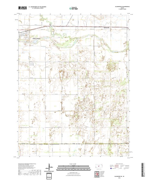
2022 Ellinwood SW
Barton County, KS
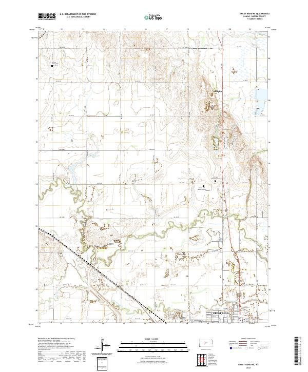
2022 Great Bend NE
Barton County, KS
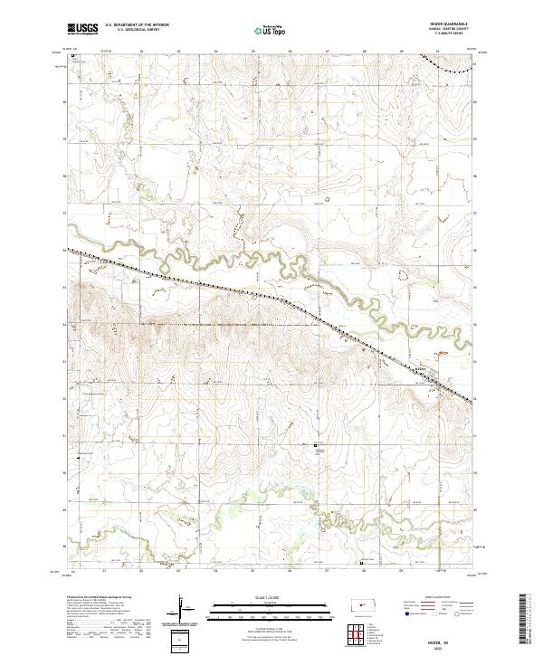
2022 Heizer
Barton County, KS
2022 Redwing
Barton County, KS