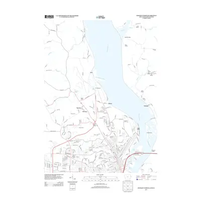
2013 Map of Dubuque North
USGS Topo · Published 2013About this map
The Mississippi River carves through this northern Dubuque landscape, defining a region where industrial riverfronts meet suburban expansion and deep ravine topography. To the north, Peru Bottoms and the drainage of the Little Maquoketa River highlight the floodplains that dictated early settlement patterns near Sageville and the Chicago Great Western RR corridor at Frith Spur. The map reveals the intricate network of hollows—including Plum Hollow, Bobs Hollow, and Boatyard Hollow—that cut into the bluffs overlooking Stumpf Island and Hamm Island.
Find a feature on this map
249 named features on this map. Tap any name to fly to it.
Don’t see what you’re looking for? This feature index may not catch every label — zoom into the map to look around manually.
Map Details
Editions of this 2013 Dubuque North Map
This is the sole edition of this map. No revisions or reprints were ever made.
Other maps of this area

1900 · Lancaster
USGS Topo · 1:125,000

1901 · Peosta
USGS Topo · 1:125,000

1904 · Lancaster
USGS Topo · 1:125,000

1908 · Lancaster
USGS Topo · 1:125,000

1935 · East Dubuque
USGS Topo · 1:62,500

1940 · East Dubuque
USGS Topo · 1:62,500

1955 · Menominee
USGS Topo · 1:24,000

1955 · Dubuque South
USGS Topo · 1:24,000

1955 · Balltown
USGS Topo · 1:24,000

1956 · Dubuque North
USGS Topo · 1:24,000