2022 Map of Dubuque South
USGS Topo · Published 2022About this map
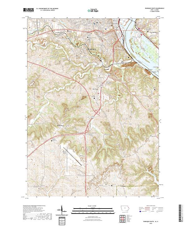
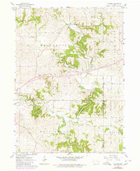
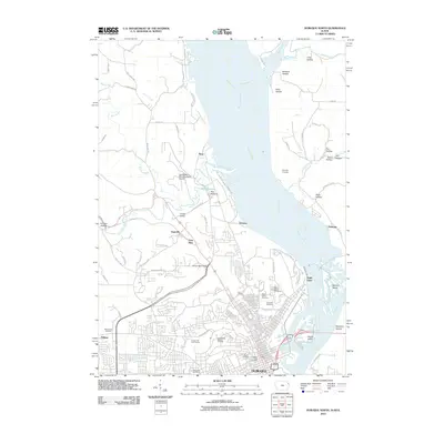
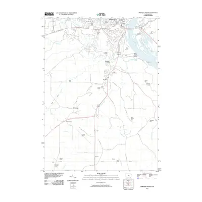
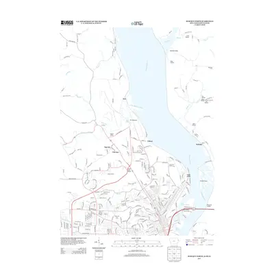
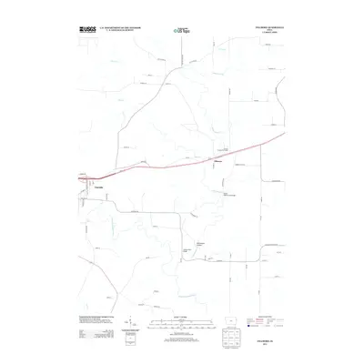
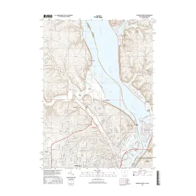
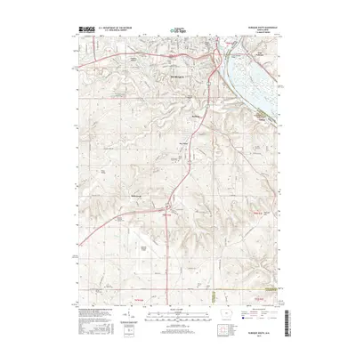
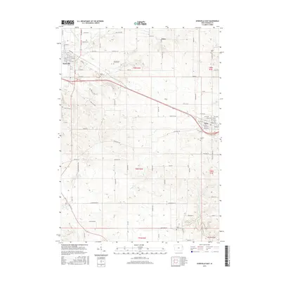
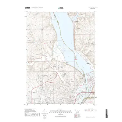
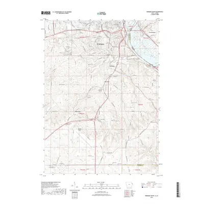
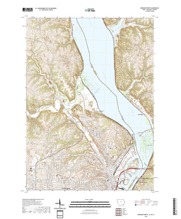
The Mississippi River and Dubuque Harbor anchor this detailed study of Dubuque's southern reaches, showcasing the city's complex topography near Kellys Bluff and Horseshoe Bluff. The landscape is defined by the converging drainages of Catfish Creek, including its North, Middle, and South forks, which carve through the terrain south toward the Dubuque and Jackson County line. In the southern uplands, the Dubuque Regional Airport serves as a modern landmark alongside the long-established Ballyclough and Key West settlements.
Find a feature on this map
136 named features on this map. Tap any name to fly to it.
Don’t see what you’re looking for? This feature index may not catch every label — zoom into the map to look around manually.
Map Details
Editions of this 2022 Dubuque South Map
This is the sole edition of this map. No revisions or reprints were ever made.
Historical Maps of Dubuque Through Time
24 maps found
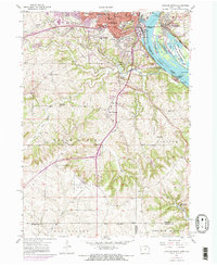
1955 Dubuque South
Dubuque County, IA
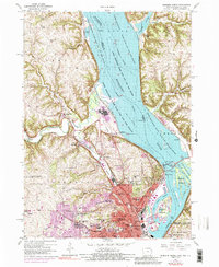
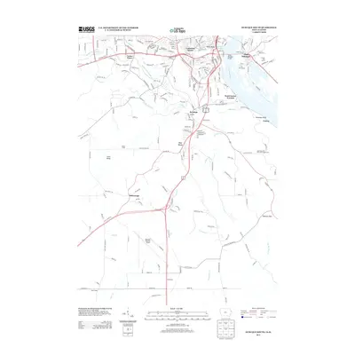
1956 Dubuque North
Dubuque County, IA
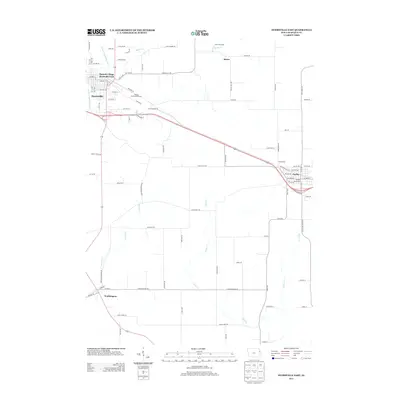
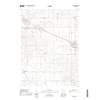
1965 Dyersville East
Dubuque County, IA
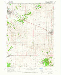
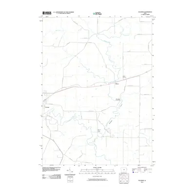
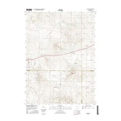
1966 Fillmore
Dubuque County, IA
2010 Dubuque North
Dubuque County, IA
2010 Dubuque South
Dubuque County, IA
2010 Dyersville East
Dubuque County, IA
2010 Fillmore
Dubuque County, IA
2013 Dubuque North
Dubuque County, IA
2013 Dubuque South
Dubuque County, IA
2013 Dyersville East
Dubuque County, IA
2013 Fillmore
Dubuque County, IA
2015 Dubuque North
Dubuque County, IA
2015 Dubuque South
Dubuque County, IA
2015 Dyersville East
Dubuque County, IA
2015 Fillmore
Dubuque County, IA
2018 Dubuque North
Dubuque County, IA
2018 Dubuque South
Dubuque County, IA
2018 Dyersville East
Dubuque County, IA
2018 Fillmore
Dubuque County, IA
2022 Dubuque North
Dubuque County, IA
2022 Dubuque South
Dubuque County, IA
2022 Dyersville East
Dubuque County, IA
2022 Fillmore
Dubuque County, IA