Loading...
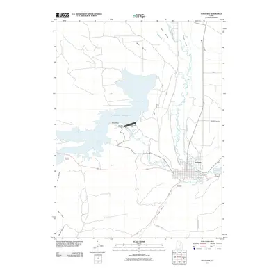
Loading map...1965 Map of Duchesne
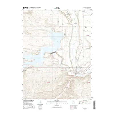
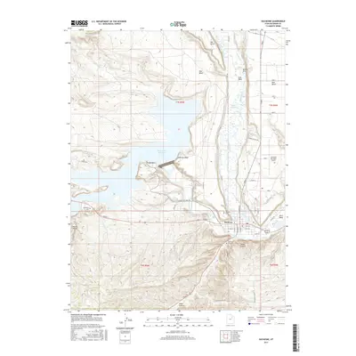
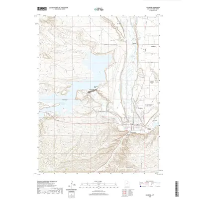
USGS Topo · Published 1981About this map
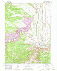
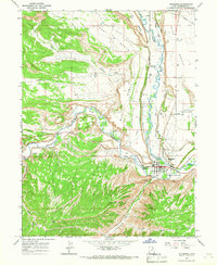
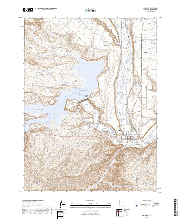
The confluence of the Strawberry River and the Duchesne River anchors this mid-century survey of the Uintah Basin, showing a landscape defined by significant water management and ranching infrastructure. The town of Duchesne is the primary hub, where the local High Sch and Gaging Sta sit near the riverbanks. To the west, the massive Starvation Reservoir dominates the drainage, its purple-shaded shoreline indicating revisions to the landscape following its construction.
Find a feature on this map
37 named features on this map. Tap any name to fly to it.
Don’t see what you’re looking for? This feature index may not catch every label — zoom into the map to look around manually.
Map Details
Date Portrayed1965
Date Published1981
PublisherU.S. Geological Survey
Map TypeTopographic
Scale1:24,000
Physical Dimensions22 x 26.9 inches
Editions of this 1965 Duchesne Map
2 editions found
Historical Maps of Duchesne Through Time
8 maps found
Featured Locations
Source Details
SourceU.S. Geological Survey
CopyrightPublic Domain