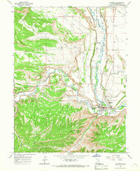
1965 Map of Duchesne
USGS Topo · Published 1967About this map
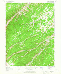
Duchesne sits at the confluence of the Strawberry River and the Duchesne River, serving as a central hub in this high-desert landscape during the mid-1960s. The town's grid is well-defined, featuring the local High Sch, a Radio Tower, and the Duchesne Cem. A network of irrigation infrastructure, including the White River Canal, Knight Canal, Rocky Point Canal, and City Canal, reveals the intensive water management required for agriculture on the surrounding plateaus like Blue Bench and West Bench.
Find a feature on this map
33 named features on this map. Tap any name to fly to it.
Don’t see what you’re looking for? This feature index may not catch every label — zoom into the map to look around manually.
Map Details
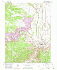
Editions of this 1965 Duchesne Map
2 editions found
Other maps of this area

1885 · Uinta
USGS Topo · 1:250,000

1939 · Duchesne
USGS Topo · 1:125,000

1954 · Salt Lake City
USGS Topo · 1:250,000

1958 · Salt Lake City
USGS Topo · 1:250,000

1960 · Salt Lake City
USGS Topo · 1:250,000
1962 · Buck Knoll
USGS Topo · 1:24,000

1962 · Blacktail Mtn
USGS Topo · 1:24,000

1962 · Rabbit Gulch
USGS Topo · 1:24,000
1964 · Duchesne SE
USGS Topo · 1:24,000
1964 · Duchesne SW
USGS Topo · 1:24,000