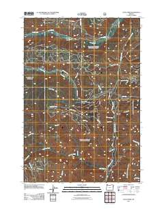
2011 Map of Duck Creek
USGS Topo · Published 2011About this map
The Imnaha River flows through this northeastern Oregon landscape, where the terrain is defined by a dense network of drainages and forestry access. At the time of this 2011 survey, a complex web of National Forest Development roads, including Nat For Dev Rd 66 and NFD Road 3985 Rd, provided the primary means of navigating the backcountry. These routes connect the higher elevations to the primary waterways such as North Pine Creek and Duck Creek.
Find a feature on this map
29 named features on this map. Tap any name to fly to it.
Don’t see what you’re looking for? This feature index may not catch every label — zoom into the map to look around manually.
Map Details
Editions of this 2011 Duck Creek Map
This is the sole edition of this map. No revisions or reprints were ever made.
Other maps of this area

1915 · Pine
USGS Topo · 1:125,000

1954 · Cornucopia
USGS Topo · 1:62,500

1955 · Baker
USGS Topo · 1:250,000

1955 · Grangeville
USGS Topo · 1:250,000

1957 · Halfway
USGS Topo · 1:62,500

1957 · Homestead
USGS Topo · 1:62,500

1957 · Copperfield
USGS Topo · 1:62,500

1959 · Baker
USGS Topo · 1:250,000

1959 · Grangeville
USGS Topo · 1:250,000

1980 · McCall
USGS Topo · 1:100,000