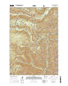
2017 Map of Duck Creek
USGS Topo · Published 2017About this map
The Imnaha River carves through the northern reaches of this territory, where it is joined by tributaries like Skookum Creek. Located within the Wallowa National Forest, the landscape is defined by a dense network of water sources including Gold Springs, Coverdale Spring, and Rock Spring. These water features highlight the importance of natural springs in the high drainage basins of the Eagle Cap wilderness vicinity.
Find a feature on this map
50 named features on this map. Tap any name to fly to it.
Don’t see what you’re looking for? This feature index may not catch every label — zoom into the map to look around manually.
Map Details
Editions of this 2017 Duck Creek Map
This is the sole edition of this map. No revisions or reprints were ever made.
Other maps of this area

1915 · Pine
USGS Topo · 1:125,000

1954 · Cornucopia
USGS Topo · 1:62,500

1955 · Baker
USGS Topo · 1:250,000

1955 · Grangeville
USGS Topo · 1:250,000

1957 · Halfway
USGS Topo · 1:62,500

1957 · Homestead
USGS Topo · 1:62,500

1957 · Copperfield
USGS Topo · 1:62,500

1959 · Baker
USGS Topo · 1:250,000

1959 · Grangeville
USGS Topo · 1:250,000

1980 · McCall
USGS Topo · 1:100,000