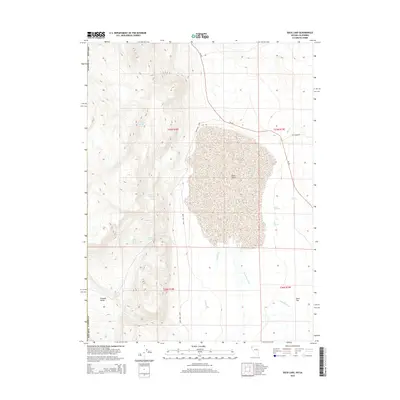
2015 Map of Duck Lake
USGS Topo · Published 2015About this map
Duck Lake dominates the center of this high-desert landscape in northern Washoe County, where the hydrology of the Great Basin is on full display through a series of ephemeral water sources and drainage patterns. The western margin is defined by higher elevations where several vital water points are located, including Apple Orchard Spring, Cocklebur Spring, and Mason Spring. These features suggest the historical importance of the area for livestock and passage through the otherwise arid Tuledad Valley.
Find a feature on this map
21 named features on this map. Tap any name to fly to it.
Don’t see what you’re looking for? This feature index may not catch every label — zoom into the map to look around manually.
Map Details
Editions of this 2015 Duck Lake Map
This is the sole edition of this map. No revisions or reprints were ever made.
Other maps of this area

1886 · Alturas
USGS Topo · 1:250,000

1886 · Honey Lake
USGS Topo · 1:250,000

1886 · Granite Range
USGS Topo · 1:250,000

1889 · Long Valley
USGS Topo · 1:250,000

1891 · Honey Lake
USGS Topo · 1:250,000

1892 · Alturas
USGS Topo · 1:250,000

1893 · Honey Lake
USGS Topo · 1:250,000

1894 · Granite Range
USGS Topo · 1:250,000

1954 · Observation Peak
USGS Topo · 1:62,500

1954 · Vya
USGS Topo · 1:250,000