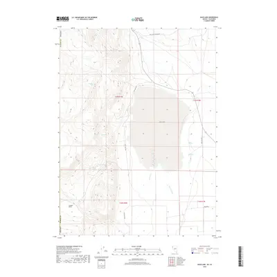
2018 Map of Duck Lake
USGS Topo · Published 2018About this map
Duck Lake dominates this high-desert basin in northern Washoe County, where ephemeral water patterns define the landscape of the Tuledad Valley. This 2018 survey details a network of vital water sources essential for survival and livestock in this arid region, including Cocklebur Spring, Mason Spring, and the curiously named Apple Orchard Spring. The terrain transitions from the flat expanse of Duck Flat to the more varied topography of the surrounding hills, where Little Potholes and Big Pothole mark geological depressions. Human presence is indicated primarily by the Duck Lake Loop and Wall Canyon Reservoir Rd, which provide access to the remote drainage systems of Tuledad Cr and Wall Cr within the Public Land Survey System grids of T37N and T36N.
Find a feature on this map
21 named features on this map. Tap any name to fly to it.
Don’t see what you’re looking for? This feature index may not catch every label — zoom into the map to look around manually.
Map Details
Editions of this 2018 Duck Lake Map
This is the sole edition of this map. No revisions or reprints were ever made.
Other maps of this area

1886 · Alturas
USGS Topo · 1:250,000

1886 · Honey Lake
USGS Topo · 1:250,000

1886 · Granite Range
USGS Topo · 1:250,000

1889 · Long Valley
USGS Topo · 1:250,000

1891 · Honey Lake
USGS Topo · 1:250,000

1892 · Alturas
USGS Topo · 1:250,000

1893 · Honey Lake
USGS Topo · 1:250,000

1894 · Granite Range
USGS Topo · 1:250,000

1954 · Observation Peak
USGS Topo · 1:62,500

1954 · Vya
USGS Topo · 1:250,000