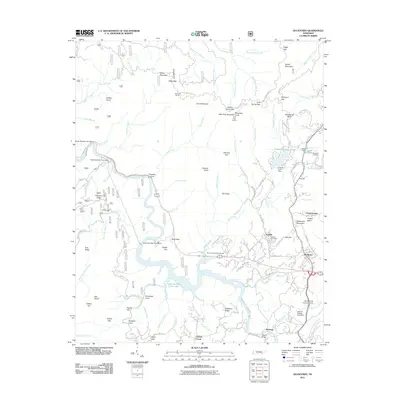
2011 Map of Ducktown
USGS Topo · Published 2011About this map
The Copper Basin industrial landscape and the high ridges of the Cherokee National Forest define this part of Polk County. The map documents the extensive hydrological management of the Ocoee River, including the Ocoee Number Three Lake and various infrastructure such as the Ocoee Number Two Dam and City Services Diversion Dam. These features speak to the heavy industrial history of the region, specifically copper mining and power generation, which shaped local settlements like Ducktown and Postelle.
Find a feature on this map
106 named features on this map. Tap any name to fly to it.
Don’t see what you’re looking for? This feature index may not catch every label — zoom into the map to look around manually.
Map Details
Editions of this 2011 Ducktown Map
This is the sole edition of this map. No revisions or reprints were ever made.
Other maps of this area

1886 · Dalton
USGS Topo · 1:125,000

1886 · Cleveland
USGS Topo · 1:125,000

1888 · Ellijay
USGS Topo · 1:125,000

1892 · Cleveland
USGS Topo · 1:125,000

1892 · Ellijay
USGS Topo · 1:125,000

1892 · Dalton
USGS Topo · 1:125,000

1893 · Murphy
USGS Topo · 1:125,000

1895 · Cleveland
USGS Topo · 1:125,000

1897 · Dalton
USGS Topo · 1:125,000

1898 · Ellijay
USGS Topo · 1:125,000